A chilly, tranquil start to May will give way to warmer but unsettled weather conditions through next week.
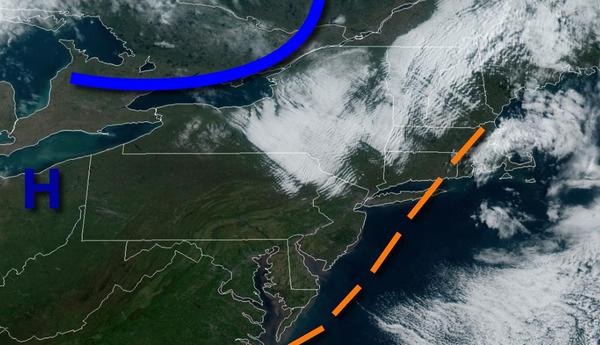
High pressure will continue to build into the region with clear skies to scattered cloud cover. Winds will subside from the northwest from 10 to 20 mph to 5 to 15 mph by this afternoon. Temperatures will rise into the upper 50s to lower 60s over the interior, lower to mid-60s along the coast, and mid to upper 60s in the Delaware River Valley for highs.
A series of weak troughs and cold fronts will move through the region tomorrow through Monday with scattered to broken cloud cover and isolated showers. Winds will be from the south-southwest at 5 to 15 mph. Temperatures tomorrow will range from the mid-40s to lower 50s for lows and upper 60s to lower 70s over the interior, upper 60s to mid-70s along the coast, and mid-70s to lower 80s in the Delaware River Valley for highs. Temperatures
on Monday will range from the mid-50s to lower 60s for lows and lower to mid-70s over the interior, upper 60s to mid-70s along the coast, and mid-70s to lower 80s in the Delaware River Valley for highs.
A series of low-pressure systems will pass through the region Monday night through Wednesday with periods of scattered to widespread showers, drizzle, and low clouds through the period. An isolated thunderstorm is possible, especially over southwestern New Jersey. Temperatures on Tuesday will range from the upper 50s to mid-60s for lows and mid-70s to lower 80s for highs. Temperatures on Wednesday will range from the lower to mid-50s over
the interior and upper 50s to mid-60s along the coast for lows and upper 60s to mid-70s along the coast, upper 70s to mid-80s in the Delaware River Valley, and upper 60s to lower 70s over the interior for highs.
High pressure will be in control on Thursday and Friday with clear skies to scattered clouds. Temperatures on Thursday will range from the lower to mid-40s over the interior and upper 40s to mid-50s along the coast for lows and lower to mid-60s over the interior and mid to upper 60s elsewhere for highs. Temperatures on Friday will range from the upper 30s to mid-40s over the interior and mid-40s to lower 50s along the coast for lows and upper
50s to mid-60s for highs.
An area of low pressure will approach on Saturday with increasing clouds and isolated to widely scattered showers towards evening. Temperatures on Saturday will range from the mid-40s for lows and upper 40s to mid-50s over the interior, mid-50s to lower 60s along the coast, and upper 50s to lower 60s in the Delaware River Valley for highs.