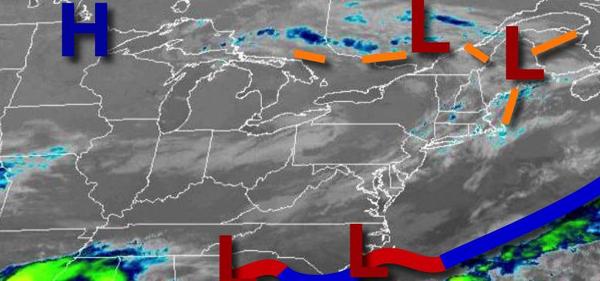
A cool weather pattern will remain in place through the next seven days with a pesky shower a threat each day. Most locations though will remain dry.
A series of weak troughs will pass through the region today through Thursday with scattered to broken cloud cover and a threat for an isolated shower in the afternoon hours. Winds will be from the northwest at 5 to 15 mph. Temperatures will rise into the mid-50s to lower 60s over the interior and lower to mid-60s along the coast for highs this afternoon. Temperatures tomorrow will range from the lower to mid-30s over the interior and
upper 30s to mid-40s along the coast for lows and mid-50s to lower 60s over the interior, lower to mid-60s along the coast, and mid to upper 60s in the Delaware River Valley for highs. Temperatures on Thursday will range from the mid to upper 30s over the interior and upper 30s to mid-40s along the coast for lows and upper 50s to lower 60s over the interior, lower to mid-60s along the coast, and mid-60s to lower 70s in the Delaware River Valley for highs.
A series of weak low-pressure systems and cold fronts will follow Friday through Monday with scattered to broken clouds and isolated to widely scattered showers, especially in the afternoon hours. Temperatures on Friday will range from the upper 30s to mid-40s for lows and mid-60s to lower 70s for highs. Temperatures on Saturday will range from the lower to mid-40s for lows and mid-60s to lower 70s for highs. Temperatures on Sunday will
range from the mid to upper 40s for lows and mid-60s to lower 70s for highs. Temperatures on Monday will range from the mid-40s to lower 50s for lows and mid-60s to lower 70s for highs.
An area of low pressure will produce scattered to widespread showers throughout the region on Tuesday. Temperatures will range from the lower to mid-50s for lows and lower to mid-60s for highs.