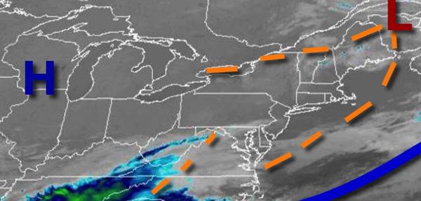
A series of troughs will keep the threat for an isolated shower in the forecast each afternoon while a cool weather pattern lingers.
A series of troughs will pass through the region today through Friday with scattered to broken clouds and an isolated shower possible in the afternoon hours. Most showers will produce very light rainfall. Winds will be from the northwest at 5 to 15 mph. Temperatures this afternoon will rise into the mid to upper 50s over the interior and lower to mid-60s along the coast for highs. Temperatures tomorrow will range from the mid to
upper 30s over the interior and lower to mid-40s along the coast for lows and upper 50s to mid-60s over the interior, lower to mid-60s along the coast, and mid to upper 60s in the Delaware River Valley for highs. Temperatures on Friday will range from the upper 30s to mid-40s for lows and mid to upper 60s over the interior and upper 60s to lower 70s along the coast for highs.
A series of troughs will pass through the region Saturday through Monday with scattered clouds and isolated showers. Temperatures will range from the lower to mid-40s over the interior and mid-40s to lower 50s along the coast for lows and mid to upper 60s over the interior and upper 60s to mid-70s along the coast for highs.
A warm front will stall over the region Tuesday and Wednesday with scattered to broken cloud cover and isolated to widely scattered showers. Temperatures on Tuesday will range from the lower to mid-50s for lows and mid-60s to lower 70s for highs. Temperatures on Wednesday will range from the upper 40s to mid-50s for lows and lower to mid-70s for highs.