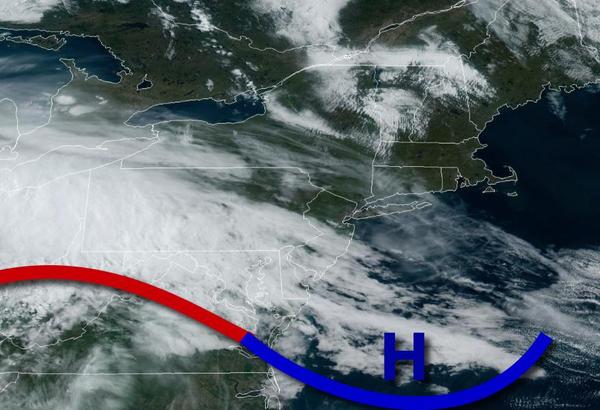
Dry conditions will kick off this Mother's Day but showers are likely by later this afternoon. An active and cool weather pattern remains through next week.
A warm front will approach through this afternoon with increasing clouds followed by scattered showers by late this afternoon. Winds will be from the southwest at 5 to 15 mph. Temperatures will rise into the lower to mid-50s over the interior and upper 50s to lower 60s along the coast for highs.
An area of low pressure will move through the region this evening through tomorrow morning with periods of showers. Winds will back from the southeast to northwest at 5 to 15 mph. Temperatures will fall into the lower to mid-40s over the interior and upper 40s to lower 50s along the coast for lows.
The area of low pressure will exit with clearing skies tomorrow afternoon and evening. Winds will be from the northwest at 5 to 15 mph. Temperatures tomorrow will rise into the mid to upper 50s over the interior and lower to mid-60s along the coast for highs.
High pressure will produce clear skies to scattered clouds on Tuesday. Winds will be from the northwest at 5 to 15 mph. Temperatures will range from the mid to upper 30s over the interior and lower to mid-40s along the coast for lows and lower to mid-50s over the interior and upper 50s to mid-60s along the coast for highs.
High pressure will remain in control on Wednesday with clear skies to scattered cloud cover. Temperatures will range from the mid to upper 30s over the interior and lower to mid-40s along the coast for lows and mid to upper 50s over the interior and upper 50s to lower 60s along the coast for highs.
A series of weak troughs will pass through the region Thursday through Saturday with isolated to widely scattered showers. Temperatures on Thursday will range from the mid to upper 30s over the interior and lower to mid-40s along the coast for lows and lower to mid-60s over the interior, mid to upper 60s along the coast, and upper 60s to lower 70s in the Delaware River Valley for highs. Temperatures on Friday will range from the mid to upper
40s along the coast for lows and lower to mid-60s over the interior and mid-60s to lower 70s along the coast for highs. Temperatures on Saturday will range from the lower to mid-40s over the interior and mid to upper 40s along the coast for lows and lower to mid-60s over the interior and mid-60s to lower 70s along the coast for highs.
An area of low pressure will produce scattered showers on Sunday. Temperatures will range from the mid to upper 40s for lows and upper 60s to mid-70s for highs.