Tranquil conditions will remain in place through the start of the weekend, but a higher threat for showers are likely by Sunday.
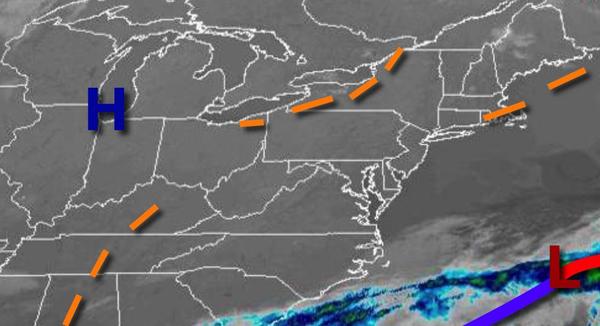
High pressure will be in control today through Saturday with clear skies to scattered clouds cover. A few isolated showers will be a threat in the afternoon hours from 2 PM to 6 PM, however, most locations will remain dry. Winds will be from the northwest at 5 to 15 mph. Temperatures this afternoon will rise into the lower to mid-60s over the interior and mid to upper 60s along the coast for highs. Temperatures tomorrow will range
from the upper 30s to mid-40s for lows and mid-60s to lower 70s for highs. Temperatures on Saturday will range from the mid-40s to lower 50s for lows and upper 60s to mid-70s for highs.
A stronger cold front will pass through the region on Sunday with widely scattered showers and isolated thunderstorms in the afternoon hours. Temperatures on Sunday will range from the mid-40s to lower 50s for lows and mid-60s to lower 70s for highs.
A series of weak troughs will pass through the region on Monday and Tuesday with scattered to broken cloud cover and isolated showers. Temperatures on Monday will range from the lower to mid-40s over the interior and upper 40s to lower 50s along the coast for lows and mid-60s to lower 70s for highs. Temperatures on Tuesday will range from the upper 40s to lower 50s for lows and mid-60s to lower 70s for highs.
A warm front will lift through the region on Wednesday with isolated to widely scattered showers. Temperatures will range from the upper 40s to mid-50s for lows and upper 60s to lower 70s over the interior and New York City metropolitan area and mid-70s to lower 80s in the Philadelphia metropolitan area for highs.
A cold front will drop south through the region on Thursday with broken to overcast skies and isolated to widely scattered showers. Temperatures will range from the mid-40s to lower 50s over the interior and mid to upper 50s along the coast for lows and mid-60s to lower 70s over the interior and New York City metropolitan area and mid-70s to lower 80s in the Philadelphia metropolitan area and southern New Jersey for highs.