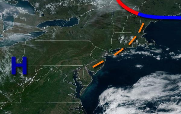
High pressure will produce tranquil conditions for most today, but an isolated shower can't be ruled out. A blast of summer heat is becoming likely for next week.
High pressure will produce scattered clouds to clear skies through this afternoon. An isolated shower will be possible this afternoon due to a lingering trough. Winds will be from the northwest at 5 to 15 mph. Temperatures will rise into the upper 60s to mid-70s for highs.
A stronger trough will move through the region tomorrow with scattered to broken clouds and isolated to widely scattered showers in the afternoon. Winds will be from the southwest at 5 to 15 mph. Temperatures will range from the mid-40s to lower 50s for lows and upper 60s to lower 70s for highs.
A weak trough will follow on Monday with scattered clouds and isolated showers possible. Winds will be from the southwest at 5 to 15 mph. Temperatures will range from the upper 40s to lower 50s for lows and mid to upper 60s over the interior and upper 60s to mid-70s along the coast for highs.
A warm front will lift through the region on Tuesday with scattered clouds and a few isolated showers. Temperatures will range from the upper 40s to mid-50s for lows and lower to mid-70s over the interior, upper 60s to lower 70s along the coast, and mid to upper 70s in the Philadelphia metropolitan area for highs.
The warm front will stall to the north of the region Wednesday through Friday with areas of fog in the morning hours and scattered clouds with isolated showers in the afternoon. Humid conditions can be expected. Temperatures will range from the upper 40s to mid-50s over the interior and upper 50s to mid-60s along the coast for lows and upper 70s to mid-80s over the interior, mid-70s to lower 80s along the coast, and mid-80s to lower 90s in the
Delaware River Valley for highs.
A cold front will crash to the south and southwest on Saturday with areas of fog in the morning followed by widespread showers. Temperatures will range from the lower to mid-60s over the interior and upper 60s to lower 70s along the coast for lows and upper 70s to mid-80s over the interior, mid-70s to lower 80s in the New York City metropolitan area, and mid-80s to lower 90s in the Philadelphia metropolitan area for highs.