A few showers today will be a threat, especially away from the coast. A blast of hot and humid conditions return by the end of this week.
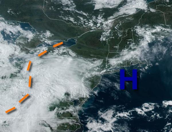
A trough will pass through the region this afternoon with widely scattered showers and isolated thunderstorms in the afternoon. Winds will be from the southwest at 5 to 15 mph. Temperatures will rise into the mid-60s to lower 70s for highs.
A series of troughs will follow tomorrow through Tuesday with scattered to broken clouds and isolated showers in the afternoon. Winds will back from the southwest to west at 5 to 15 mph. Temperatures tomorrow will range from the mid-40s to lower 50s for lows and upper 60s to mid-70s for highs. Temperatures on Tuesday will range from the lower to mid-50s for lows and lower to mid-70s over the interior, upper 60s to mid-70s along the coast,
and mid to upper 70s in the Delaware River Valley for highs.
High pressure will be in control Wednesday through Friday with clear skies to scattered cloud cover. Areas of fog will be a threat in the morning hours. Temperatures on Wednesday will range from the lower to mid-50s over the interior and mid to upper 50s along the coast for lows and upper 70s to lower 80s over the interior and mid to upper 80s along the coast for highs. Temperatures on Thursday will range from the mid-50s to lower 60s for
lows and lower to mid-80s over the interior, upper 70s to mid-80s along the coast, and mid to upper 80s in the Delaware River Valley for highs. Temperatures on Friday will range from the lower to mid-60s for lows and lower to mid-80s over the interior, upper 70s to mid-80s along the coast, and upper 80s to lower 90s in the Delaware River Valley.
A cold front will slowly drop south through the region on Saturday and Sunday with areas of fog in the morning and widely scattered showers and thunderstorms in the afternoon. Temperatures will range from the lower to mid-60s over the interior and mid-60s to lower 70s along the coast for lows and lower to mid-80s over the interior and mid-80s to lower 90s in the Delaware River Valley and coast for highs.