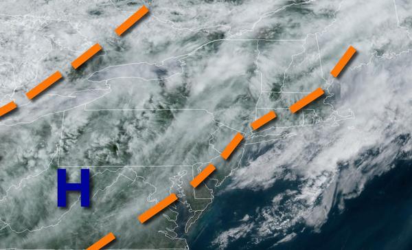
Hot conditions return this weekend, but a few pesky showers are a threat as well. Cooler and cloudy weather returns by next week.
A weak trough will linger over the region today with a mix of sun and clouds along with isolated showers. Winds will veer from the southwest to northwest at 5 to 10 mph. Temperatures will rise into the lower to mid-80s over the interior, mid to upper 80s along the coast, and upper 80s to mid-90s in the Delaware River Valley for highs.
Another trough will drop through the region tomorrow with areas of fog in the morning and scattered to broken clouds with isolated showers in the afternoon and evening. Winds will be from the northwest at 5 to 15 mph, veering to the north in the evening. Temperatures will range from the lower to mid-60s over the interior and mid-60s to lower 70s along the coast for lows and lower to mid-80s over the interior, mid-80s to lower 90s along the
coast, and lower to mid-90s in the Delaware River Valley for highs.
A cold front will drop through the region on Sunday night through Monday with scattered to broken clouds and isolated showers. Winds will veer to the northeast at 5 to 15 mph. Temperatures will range from the mid to upper 50s over the interior and upper 50s to mid-60s along the coast for lows and lower to mid-60s along the coast and upper 60s to lower 70s away from the coast for highs.
The frontal boundary will linger over the region Tuesday through Friday with scattered to broken cloud cover and isolated showers. Temperatures on Tuesday will range from the mid to upper 50s for lows and mid to upper 60s over the interior, mid-60s to lower 70s along the coast, and lower to mid-70s in the Delaware River Valley for highs. Temperatures on Wednesday will range from the lower to mid-60s for lows and mid-70s to lower 80s along the
coast, mid to upper 80s over the interior, and mid-80s to lower 90s in the Delaware River Valley for highs. Temperatures on Thursday will range from the mid-60s to lower 70s for lows and mid-70s to lower 80s over the interior, lower to mid-80s along the coast, and mid-80s to lower 90s in the Delaware River Valley for highs. Temperatures on Friday will range from the upper 40s to mid-50s over the interior and upper 50s to mid-60s along the coast for lows and lower to mid-70s over the
interior and mid-70s to lower 80s away from the coast for highs.
An area of low pressure will approach on Saturday with increasing clouds and scattered showers. Temperatures will range from the mid-50s to lower 60s for lows and mid-60s to lower 70s along the coast and lower to mid-70s away from the coast for highs.