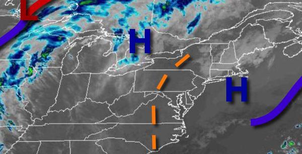
A cool end to the week will give way to hot and humid conditions this weekend with a threat for a few isolated showers and thunderstorms. Temperatures crash again to start next week.
High pressure will continue to shift off the coast today with clear skies to scattered clouds. Winds will be from the southwest at 5 to 15 mph. Temperatures will rise into the upper 60s to mid-70s along the coast and upper 70s to mid-80s away from the coast for highs.
A weak trough will linger over the region tonight through Sunday with locally dense fog in the morning and scattered cloud cover in the afternoon. Isolated showers and thunderstorms will be a threat from 2 PM to 8 PM each day. The thunderstorms will be capable of heavy downpours, occasional lightning, small hail, and wind gusts over 40 mph. Winds will veer from the southwest to northwest at 5 to 10 mph. Temperatures tomorrow will
range from the upper 50s to lower 60s for lows and upper 70s to mid-80s along the coast and upper 80s to mid-90s away from the coast. Temperatures on Sunday will range from the lower to mid-60s over the interior and mid-60s to lower 70s along the coast for lows and lower to mid-80s over higher elevations, mid-80s to lower 90s along the coast, and lower to mid-90s in the Delaware River Valley for highs.
A cold front will drop south and southwest over the region on Monday with scattered to broken cloud cover and isolated showers. Temperatures will be significantly cooler with lows in the upper 50s to mid-60s and highs in the lower to mid-60s along the coast and upper 60s to lower 70s away from the coast.
A frontal boundary will waver over the region Tuesday through Friday with areas of fog in the morning and scattered to broken cloud cover with isolated showers and thunderstorms in the afternoon and evening. Temperatures on Tuesday will range from lower to mid-50s along the coast and mid to upper 50s elsewhere for lows and mid-60s to lower 70s along the coast and mid-70s to lower 80s away from the coast for highs. Temperatures on Wednesday will
range from the lower to mid-60s for lows and mid-70s to lower 80s along the coast and mid-80s to lower 90s away from the coast for highs. Temperatures on Thursday will range from the mid-60s to the lower 70s along the coast for lows and upper 70s to mid-80s over the interior, upper 70s to lower 80s along the coast, and mid-80s to lower 90s in the Delaware River Valley for highs. Temperatures on Friday will range from the lower to mid-50s over the interior and upper 50s to
mid-60s along the coast for lows and lower to mid-70s over the interior, upper 60s to mid-70s along the coast, and upper 70s to lower 80s in the Delaware River Valley for highs.