Hot and humid conditions today will give way to a maritime airmass tonight with the threat of a few isolated thunderstorms. A volatile pattern conditions through next week.
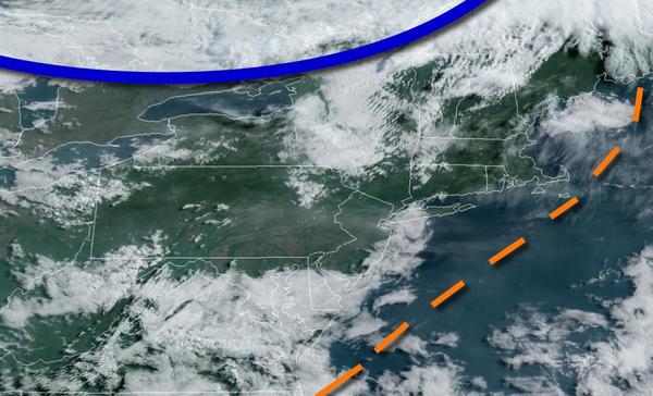
A cold front will approach the region from the north today with increasing clouds and isolated showers and thunderstorms by late afternoon into the evening hours. The thunderstorms will be capable of brief heavy downpours, occasional lightning, and wind gusts over 40 mph. Winds will veer from the west to northwest at 5 to 15 mph. Temperatures will rise into the lower to mid-80s over the interior and upper 80s to mid-90s elsewhere for
highs.
The cold front will settle to the south of the region tonight with scattered to broken clouds and a few isolated showers. Winds will veer to the north at 5 to 15 mph. Temperatures will fall into the mid to upper 50s over the interior and upper 50s to mid-60s along the coast for lows.
The cold front will stall to the southwest of the region, over the southern Mid Atlantic, with scattered to overcast cloud cover and isolated showers. Winds will be from the northeast at 5 to 15 mph. Temperatures will rise into the mid-60s to lower 70s along the coast and lower to mid-70s away from the coast for highs.
The frontal boundary will slowly rebound as a warm front on Tuesday with variable clouds and isolated showers. Winds will veer from the east to south at 5 to 15 mph. Temperatures on Tuesday will range from the mid to upper 50s for lows and mid-60s to lower 70s along the coast and mid to upper 70s away from the coast for highs.
The warm front will stall to the north of the region on Wednesday and Thursday with scattered clouds and isolated showers and thunderstorms. Temperatures on Wednesday will range from the lower to mid-60s for lows and mid-70s to lower 80s along the coast, lower to mid-80s over the interior, and mid-80s to lower 90s in the Delaware River Valley for highs. Temperatures on Thursday will range from the lower to mid-60s over the interior and mid-60s
to lower 70s along the coast for lows and mid-70s to lower 80s over the interior, lower to mid-80s along the coast, and mid-80s to lower 90s in the Delaware River Valley for highs.
A cold front will drop south on Friday with scattered to broken cloud cover and isolated showers. Temperatures on Friday will range from the upper 40s to mid-50s over the interior and mid-50s to lower 60s along the coast for lows and upper 60s to mid-70s along the coast and mid to upper 70s elsewhere for highs.
The cold front will stall over the region with waves of low pressure on Saturday and Sunday with scattered to overcast cloud cover and isolated to widely scattered showers. Temperatures on Saturday will range from the upper 40s to mid-50s for lows and upper 50s to lower 60s for highs. Temperatures on Sunday will range from the lower to mid-50s for lows and upper 50s to mid-60s for highs.