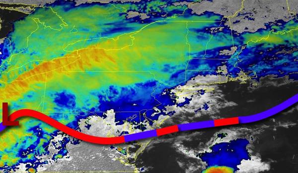
Waves of rainfall will invade tonight followed by unsettled and cool conditions through the rest of the Memorial Day Weekend. The weekend isn't a complete washout and the best weather conditions look to be in the afternoon on Memorial Day.
Showers will increase in coverage this afternoon and will become widespread this evening. The rain will be heavy at times tonight through tomorrow morning. Winds will be from the northeast at 5 to 15 mph with gusts over 30 mph at times. Temperatures will fall into the upper 40s to lower 50s for lows tomorrow morning.
Periods of rain will continue tomorrow morning and then taper off to drizzle over the interior and New York City metropolitan area and scattered showers over the Philadelphia metropolitan area and southern New Jersey. Winds will be from the northeast at 5 to 15 mph. Temperatures will rise into the mid to upper 50s for highs.
Another area of low pressure will lift through the coastal waters tomorrow night through Sunday with overcast to broken clouds and scattered showers. Winds will back from the northeast to the northwest at 5 to 15 mph. Temperatures will range from the lower to mid-40s over the interior and mid to upper 40s along the coast for lows and lower to mid-50s for highs.
The area of low pressure will exit with showers lingering in the morning followed by clearing skies in the afternoon and evening. Winds will be from the northwest at 5 to 15 mph. Temperatures will range from the lower to mid-40s over the interior and upper 40s to lower 50s along the coast for lows and mid-60s to lower 70s for highs.
High pressure will be in control on Tuesday and Wednesday with clear skies to scattered cloud cover. Temperatures on Tuesday will range from the upper 40s to lower 50s for lows and lower to mid-70s for highs. Temperatures on Wednesday will range from the mid-50s to lower 60s for lows and upper 60s to lower 70s for highs.
A cold front will stall to the north of the region on Thursday and Friday with areas of fog in the morning and scattered showers and thunderstorms in the afternoon and evening. Temperatures on Thursday will range from the upper 50s to lower 60s for lows and mid-60s to lower 70s on Long Island, mid to upper 70s along the coast, upper 60s to mid-70s over the interior, and upper 70s to lower 80s in the Delaware River Valley for highs. Temperatures
on Friday will range from the lower to mid-60s along the coast and mid to upper 60s elsewhere for lows and lower to mid-70s along the coast and upper 70s to mid-80s away from the coast for highs.