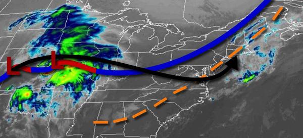
Skies will clear today, but an area of low pressure will bring widespread heavy rainfall by tomorrow evening and lingering showers through the Memorial Day Weekend.
A cold front will clear the region this morning with scattered cloud cover through this evening. Winds will be from the northwest at 5 to 15 mph. Temperatures will rise into the lower to mid-70s over the interior and upper 70s to mid-80s elsewhere for highs with much lower humidity.
An area of low pressure will approach tonight through tomorrow with increasing clouds and showers developing in the afternoon. Winds will veer from the northwest to northeast at 5 to 15 mph. Temperatures will range from the upper 40s to lower 50s over the interior and mid to upper 50s along the coast for lows and upper 60s to lower 70s along the coast, lower to mid-70s over the interior, and mid to upper 70s in the Delaware River Valley for
highs.
The area of low pressure will produce periods of rain, heavy at times, tomorrow evening through Saturday morning. Rainfall amounts of 1" to 3" can be expected throughout the region which may produce some urban and flash flooding. Winds will be from the northeast at 5 to 15 mph with gusts up to 30 mph at times. Temperatures will fall into the upper 40s to lower 50s for lows by Saturday morning.
The low-pressure system will exit on Saturday afternoon as another low-pressure system forms off the Virginia coast, which will allow high pressure over the St. Lawrence River Valley to press south. As a result, while cloudy conditions are expected, dry air will produce a break in the rainfall for the interior and New York City metropolitan area while isolated to widely scattered showers linger on the New Jersey coast and Philadelphia metropolitan
area. Winds will be from the northeast at 5 to 15 mph with gusts up to 30 mph at times. Temperatures will rise into the lower to mid-50s for highs.
The area of low pressure will linger over the coastal waters Saturday night through Monday morning with broken to overcast skies, drizzle, and scattered showers. Some drier conditions are expected Monday afternoon with cloudy skies. An east-to-northeasterly wind will remain in place with gusts at times up to 30 mph on the immediate coast. Temperatures on Sunday will range from the mid-40s to lower 50s for lows and mid-50s to lower 60s for
highs. Temperatures on Monday will range from the mid-40s to lower 50s for lows and upper 60s to mid-70s for highs.
High pressure will be in control on Tuesday and Wednesday with clear skies to scattered cloud cover. Temperatures on Tuesday will range from the upper 40s to lower 50s for lows and upper 60s to mid-70s over the interior, upper 60s to lower 70s along the coast, and mid to upper 70s in the Delaware River Valley for highs. Temperatures on Wednesday will range from the mid to upper 50s for lows and upper 60s to lower 70s along the coast and mid to
upper 70s away from the coast for highs.
A cold front will slowly drop south towards the region on Thursday with areas of fog in the morning and scattered showers and thunderstorms in the afternoon. Temperatures will range from the upper 50s to mid-60s for lows and lower to mid-70s on Long Island, mid-70s t0 lower 80s along the coast, mid-70s to lower 80s over the interior, and mid to upper 80s in the Delaware River valley for highs.