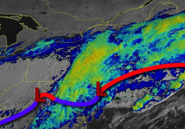
Waves of rainfall this morning will give way to cloudy and damp conditions by this evening. Unsettled conditions remain through the holiday weekend.
The first area of low pressure will slowly move through the coastal waters this morning with waves of rainfall that will slowly taper off to drizzle and overcast conditions over the interior and New York City metropolitan area and scattered showers over the Philadelphia metropolitan area and southern New Jersey. Winds will be from the northeast at 5 to 15 mph. Temperatures will rise into the lower to mid-50s along the coast and mid to upper 50s
over the interior for highs.
Another area of low pressure will move through the coastal waters tomorrow with scattered showers throughout the day. Winds will be from the north-northeast at 5 to 15 mph. Temperatures will range from the mid to upper 40s for lows and upper 40s to lower 50s over the interior and mid to upper 50s along the coast for highs.
The low-pressure system will exit on Memorial Day Monday morning with lingering showers followed by clearing skies in the afternoon and evening. Winds will back from the north-northeast to the northwest at 5 to 15 mph. Temperatures will range from the lower to mid-40s over the interior and upper 40s to mid-50s along the coast for lows and lower to mid-60s for highs.
High pressure will be in control on Tuesday and Wednesday with clear skies to scattered cloud cover. Temperatures on Tuesday will range from the upper 40s to mid-50s for lows and mid-60s to lower 70s over the interior and lower to mid-70s along the coast for highs. Temperatures on Wednesday will range from the upper 40s to lower 50s for lows and upper 60s to mid-70s for highs.
A cold front will slowly sink through the region on Thursday and Friday with areas of fog in the morning and periods of showers and thunderstorms in the afternoon. Temperatures on Thursday will range from the upper 50s to lower 60s for lows and upper 60s to lower 70s along the coast, upper 60s to mid-70s over the interior, and mid-70s to lower 80s in the Delaware River Valley for highs. Temperatures on Friday will range from the lower to
mid-60s for lows and mid-70s to lower 80s for highs.
High pressure will produce scattered cloud cover on Saturday. Temperatures will range from the lower to mid-60s for lows and mid-70s to lower 80s along the coast, upper 70s to mid-80s over the interior, and lower to mid-80s in the Delaware River Valley for highs.