The first day of Meteorological Summer will feature tranquil, refreshing weather. An active weather pattern will develop with warmer and more humid conditions.
High pressure will be in control with clear skies to scattered cloud cover through this evening. Winds will be from the west at 5 to 15 mph. Temperatures will rise into the lower to mid-70s for highs this afternoon.
High pressure will exit off the coast tonight with scattered clouds, low clouds, and areas of patchy fog. Winds will be from the southwest at 5 to 10 mph. Temperatures will fall into the mid to upper 50s for lows.
A weak trough will approach tomorrow afternoon with scattered clouds and isolated showers and thunderstorms. Winds will be from the south at 5 to 15 mph. Temperatures will rise into the upper 60s to lower 70s along the coast, lower to mid-70s over the interior, and mid-70s to lower 80s in the Delaware River Valley for highs.
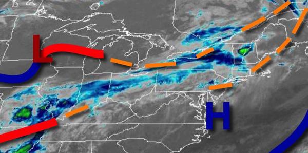
A warm front will lift through the region on Thursday with waves of showers and strong to severe thunderstorms. The thunderstorms will be capable of intense downpours, frequent lightning, small hail, and wind gusts over 40 mph. Winds will be from the southwest at 5 to 15 mph. Temperatures will range from the mid-50s to lower 60s for lows and mid-60s to lower 70s along the coast and lower to mid-70s away from the coast for
highs.
A cold front will follow on Friday with scattered clouds and isolated showers and thunderstorms. Temperatures will range from the lower to mid-60s for lows and mid-70s to lower 80s for highs.
A series of weak troughs and cold fronts will follow Saturday through Tuesday with areas of locally dense fog in the morning hours and scattered clouds with isolated thunderstorms in the afternoon. An increase in humidity will be noticed. Temperatures on Saturday will range from the upper 50s to lower 60s for lows and upper 70s to mid-80s for highs. Temperatures on Sunday will range from the lower to mid-60s for lows and upper 70s to
lower 80s on the coast and mid to upper 80s away from the coast for highs. Temperatures on Monday will range from the lower to mid-60s for lows and upper 70s to mid-80s along the coast and mid-80s to lower 90s away from the coast for highs. Temperatures on Tuesday will range from the mid-60s to lower 70s for lows and lower to mid-80s along the coast and mid-80s to lower 90s for highs.