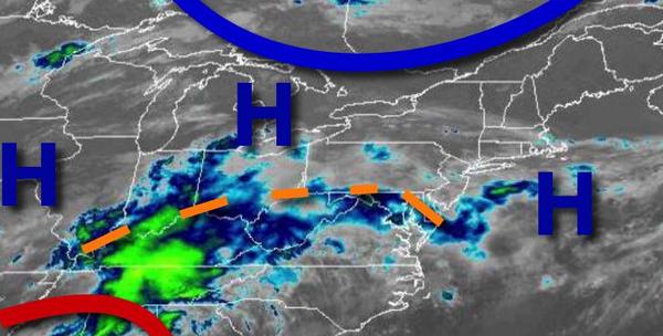
An active and more humid weather pattern is on the way and kicks off with widespread showers and thunderstorms throughout the day tomorrow. The days that follow will feature hotter and more humid weather conditions.
A trough will lift through the region today with scattered to broken clouds and a few isolated showers and thunderstorms. Winds will be from the south at 5 to 15 mph. Temperatures will rise into the mid-60s to lower 70s over the interior, upper 60s to mid-70s along the coast, and mid to upper 70s in the Delaware River Valley for highs.
A warm front will approach tonight with increasing clouds, areas of fog, and showers developing towards tomorrow morning. Winds will be from the south at 5 to 15 mph. Temperatures will fall into the upper 50s to lower 60s for lows.
The warm front will lift through the region tomorrow with waves of showers and thunderstorms. The thunderstorms will be capable of heavy downpours, occasional to frequent lightning, small hail, and wind gusts over 40 mph. Heavy downpours may produce areas of flash flooding. Winds will veer to the southwest at 5 to 15 mph. Temperatures will rise into the mid-60s to lower 70s along the coast, lower to mid-70s over the interior, and
mid-70s to lower 80s in the Delaware River Valley for highs.
A cold front will follow tomorrow night through Friday morning with additional showers and thunderstorms. Skies will clear in the afternoon and evening hours. Winds will veer to the west at 5 to 15 mph. Temperatures will range from the lower to mid-60s over the interior and mid to upper 60s along the coast for lows and lower to mid-70s along the coast and mid-70s to lower 80s away from the coast for highs.
A series of weak troughs will pass through the region Saturday through Wednesday with low clouds and areas of fog in the morning hours and scattered clouds with isolated showers and thunderstorms in the afternoon and evening hours. Humid conditions will be in place. Temperatures on Saturday will range from the upper 50s to lower 60s for lows and upper 70s to lower 80s on the coast, upper 70s to mid-80s over the interior, and mid-80s in the
Delaware River Valley for highs. Temperatures on Sunday through Wednesday will range from the upper 50s to mid-60s over the interior and mid-60s to lower 70s along the coast for lows and mid-70s to lower 80s on Long Island, upper 70s to mid-80s along the coast, mid to upper 80s over the higher elevations, and upper 80s to lower 90s in the Delaware River Valley for highs.