Perfect weather conditions will continue if you like to head to the beach, however, this weather pattern won't last long with thunderstorms and cooler weather for this coming week.
High pressure will provide clear skies to scattered cloud cover through this evening. Winds will be from the southwest at 5 to 15 mph. Temperatures will rise into the lower to mid-80s along the coast and mid-80s to lower 90s away from the coast.
A weak trough will move through the region tomorrow with areas of fog and low clouds in the morning followed by scattered clouds with isolated thunderstorms in the afternoon. The thunderstorms will be capable of heavy downpours, frequent lightning, small hail, and wind gusts over 40 mph. Winds will be from the southwest at 5 to 15 mph. Temperatures will range from the mid-60s to lower 70s for lows and mid-70s to lower 80s on Long Island,
lower to mid-80s along the coast, and mid-80s to lower 90s away from the coast for highs.
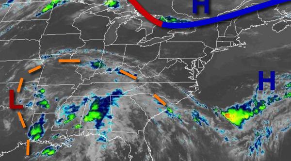
A cold front will approach on Tuesday with areas of fog and low clouds in the morning and scattered to widespread showers and thunderstorms in the afternoon and evening. The thunderstorms will be capable of intense downpours, frequent lightning, hail, and wind gusts over 40 mph. Winds will veer from the southwest to west at 5 to 15 mph. Temperatures will range from the mid-60s to lower 70s for lows and upper 70s to mid-80s along the coast
and lower to mid-80s away from the coast for highs.
The cold front will drop through the region on Wednesday with widespread showers and thunderstorms. Temperatures will range from the upper 60s to mid-70s for lows and lower to mid-80s for highs.
The cold front will stall to the south of the region on Thursday through Sunday with scattered to broken cloud cover and isolated to widely scattered showers. Temperatures on Thursday will range from the mid-60s to lower 70s for lows and mid-70s to lower 80s for highs. Temperatures on Friday will range from the upper 50s to lower 60s over the interior and New York City metropolitan area and mid-60s to lower 70s in the Philadelphia metropolitan
area and southern New Jersey for lows and upper 60s to mid-70s over the interior and New York City metropolitan area and mid-70s to lower 80s in the Philadelphia metropolitan area and southern New Jersey for highs. Temperatures on Saturday will range from the upper 50s to lower 60s over the interior and New York City metropolitan area and mid-60s to lower 70s in the Philadelphia metropolitan area and southern New Jersey for lows and upper 60s to mid-70s over the interior and New York City
metropolitan area and mid-70s to lower 80s in the Philadelphia metropolitan area and southern New Jersey for highs. Temperatures on Sunday will range from the mid-50s to lower 60s for lows and mid-60s to lower 70s for highs.