Heatwave conditions are met in the Philadelphia metropolitan area today while showers and thunderstorms become an increasing threat through the week. Cooler weather returns for the end of the week.
A weak trough will approach the region today with scattered clouds and an isolated thunderstorm possible in the afternoon and evening hours. The thunderstorm will be capable of brief heavy downpours, frequent lightning, and wind gusts over 40 mph. Winds will be from the southwest at 5 to 10 mph. Temperatures will rise into the mid-70s to lower 80s on Long Island, lower to mid-80s along the coast, mid to upper 80s over the interior, and
upper 80s to lower 90s in the Delaware River Valley for highs.
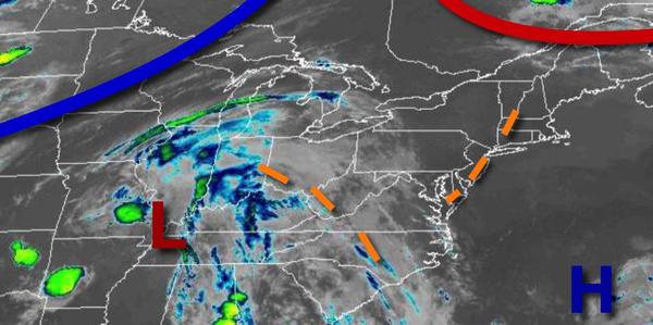
A cold front will approach tomorrow with areas of fog and low clouds in the morning and widely scattered to scattered showers and thunderstorms. The thunderstorms will be capable of heavy downpours, frequent lightning, small hail, and wind gusts over 40 mph. Winds will be from the southwest at 5 to 15 mph. Temperatures will range from the mid-60s to lower 70s for lows and mid-70s to lower 80s along the coast and upper 70s to mid-80s away
from the coast for highs.
The cold front will press through the region on Wednesday with scattered to widespread showers and thunderstorms. The thunderstorms will be capable of intense downpours, frequent lightning, and wind gusts over 40 mph. Flash flooding will be a threat. Winds will veer from the southwest to the north at 5 to 15 mph. Temperatures will range from the upper 60s to lower 70s for lows and lower to mid-80s for highs.
The cold front will stall to the south of the region with waves of low-pressure producing scattered to broken clouds and isolated to widely scattered showers Thursday through Monday. Temperatures on Thursday will range from the mid-60s to lower 70s for lows and upper 70s to lower 80s for highs. Temperatures on Friday will range from the upper 50s to mid-60s for lows and mid-60s to lower 70s for highs. Temperatures on Saturday will range
from the mid-50s to lower 60s for lows and upper 60s to mid-70s along the coast, lower to mid-70s over the interior, and mid-70s to lower 80s in the Delaware River Valley for highs. Temperatures on Sunday will range from the mid-50s to lower 60s for lows and lower to mid-70s along the coast and mid to upper 70s away from the coast for highs. Temperatures on Monday will range from the upper 50s to lower 60s for lows and lower to mid-70s along the coast and mid-70s to lower 80s away
from the coast for highs.