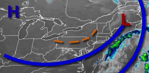
High pressure will produce excellent weather conditions for the rest of the week but a series of cold fronts and some tropical moisture will have rain returning.
High pressure will be in control today through tomorrow with clear skies to scattered cloud cover. Winds will be from the northwest at 5 to 15 mph. Temperatures will rise into the upper 60s to lower 70s over the interior and mid to upper 70s along the coast for highs this afternoon. Temperatures tomorrow will range from the upper 40s to lower 50s over the interior and lower to mid-50s along the coast for lows and lower to mid-70s over the
interior and mid to upper 70s along the coast for highs.
High pressure will exit the region on Friday with scattered cloud cover expected. Winds will back to the southwest at 5 to 15 mph. Temperatures will range from the mid to upper 50s for lows and mid-70s to lower 80s along the coast and lower to mid-80s away from the coast for highs.
An area of low pressure and cold front will move through the region on Saturday with scattered showers and isolated thunderstorms. Temperatures will range from the lower to mid-60s for lows and mid-70s to lower 80s along the coast, upper 70s to mid-80s over the interior, and mid to upper 80s in the Delaware River Valley for highs.
High pressure will produce scattered cloud cover and dry conditions on Sunday. Temperatures will range from the mid to upper 50s over the interior and lower to mid-60s along the coast for lows and upper 70s to lower 80s over the interior, lower to mid-80s along the coast, and mid to upper 80s in the Delaware River Valley for highs.
High pressure will exit on Monday with increasing clouds throughout the day. Temperatures on Monday will range from the upper 50s to mid-60s for lows and upper 70s to mid-80s along the coast and mid to upper 80s away from the coast for highs.
An area of low pressure with plenty of tropical moisture will move through the region on Monday night through Tuesday with periods of rain, heavy at times. Temperatures on Tuesday will range from the upper 60s to mid-70s for lows and upper 70s to lower 80s for highs.
High pressure will build into the region on Wednesday with clearing skies. Temperatures will range from the lower to mid-50s over the interior and upper 50s to lower 60s along the coast for lows and lower to mid-70s over the interior and mid-70s to lower 80s along the coast for highs.