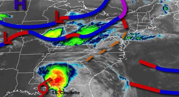
A tropical air mass and a stalling cold front will keep the threat for thunderstorms in play through this weekend. A more powerful cold front has the potential to bring widespread rainfall and thunderstorms by Tuesday.
A trough of low pressure will swing through the region today with a mix of sun and clouds along with isolated showers and thunderstorms. Winds will be from the southwest at 5 to 15 mph. Temperatures will rise into the lower to mid-80s over the interior and mid-80s to lower 90s along the coast for highs with humid conditions.
A cold front will sink south towards the region tonight with scattered showers and thunderstorms. The thunderstorms will be capable of heavy downpours, frequent lightning, hail, and wind gusts over 40 mph. The best potential for thunderstorms will be between 8 PM and 2 AM tonight. Winds will be from the southwest at 5 to 15 mph. Temperatures will fall into the lower to mid-60s over the interior and mid-60s to lower 70s along the
coast for lows.
The cold front will stall over the region tomorrow through Monday with areas of locally dense fog in the morning and a mix of sun and clouds with isolated thunderstorms in the afternoon and evening. Winds will be from the southwest at 5 to 15 mph. Temperatures will rise into the upper 70s to mid-80s over the interior and mid-80s to lower 90s along the coast for highs tomorrow. Temperatures on Monday will range from the upper 60s to
mid-70s for lows and upper 70s to mid-80s along the coast, mid-80s to lower 90s in the Delaware River Valley, and mid-80s for the interior for highs.
A powerful cold front will follow on Tuesday with widespread showers and thunderstorms in the afternoon and evening. Temperatures will range from the mid-60s to lower 70s for lows and lower to mid-70s over the interior and mid-70s to lower 80s along the coast for highs.
High pressure will be in control Wednesday through Friday with clear skies to scattered cloud cover. Temperatures on Wednesday and Thursday will range from the upper 40s to mid-50s over the interior and mid to upper 50s along the coast for lows and upper 60s to mid-70s over the interior, mid-70s to lower 80s in the Delaware River Valley, and lower to mid-70s along the coast for highs. Temperatures on Friday will range from the mid to upper 50s
for lows and mid-70s to lower 80s along the coast and upper 70s to mid-80s away from the coast for highs.
A cold front will move through on Saturday with scattered showers and thunderstorms. Temperatures on Saturday will range from the lower to mid-60s over the interior and mid to upper 60s along the coast for lows and upper 70s to mid-80s along the coast and mid-80s to lower 90s away from the coast for highs.