Tranquil conditions will be in place through tomorrow, but a pesky low-pressure system over the coastal waters will produce the threat of a few showers for the end of the week. A tropical weather pattern returns next week.
High pressure will pass over the region today with clear skies to scattered clouds with light and variable winds. Temperatures will rise into the upper 60s to lower 70s over the interior and lower to mid-70s along the coast for highs.
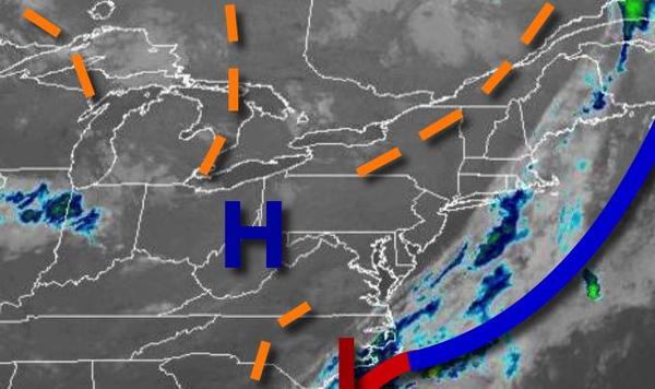
High pressure will shift towards the Gulf of Maine tonight through tomorrow with scattered cloud cover expected. Winds will veer to the northeast at 5 to 10 mph. Temperatures will range from the upper 40s to lower 50s over the interior and mid to upper 50s along the coast for lows and lower to mid-70s along the coast and mid-70s to lower 80s away from the coast for highs.
An area of low pressure will pass through the coastal waters with scattered cloud cover over the interior and broken clouds with isolated showers along the coast on Friday. A few showers will be capable of brief heavy downpours. Winds will be from the east at 5 to 15 mph. Temperatures will range from the lower to mid-50s over the interior and mid-50s to lower 60s along the coast for lows and lower to mid-70s along the coast and upper 70s
to lower 80s away from the coast for highs.
High pressure over the western Atlantic will build into the region Saturday and Sunday while a weak cold front will stall to the west producing fog in the morning and scattered cloud cover in the afternoon. An isolated thunderstorm in the afternoon can not be ruled out. Temperatures on Saturday will range from the mid-60s to lower 70s for lows and mid-70s to lower 80s along the coast, mid to upper 80s in the Delaware River Valley, and lower to
mid-80s over the interior for highs. Temperatures on Sunday will range from the upper 60s to mid-70s for lows and upper 70s to mid-80s along the coast and mid to upper 80s away from the coast for highs.
A tropical air mass will remain in place Monday through Wednesday with a series of cold fronts stalling to the northwest of the region producing fog in the morning followed by a mix of sun and clouds with isolated thunderstorms in the afternoon. The thunderstorms will be capable of heavy downpours, frequent lightning, and wind gusts over 40 mph. Temperatures through the period will range from the upper 60s to mid-70s for lows and upper 70s to
mid-80s along the coast and mid-80s to lower 90s away from the coast for highs.