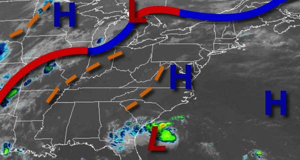
Hazy, hot, and humid conditions will continue into the start of this week, but a powerful cold front will follow by Thursday with showers, thunderstorms, and a return to cooler weather.
High pressure off the coast and a series of weak troughs will produce areas of fog and low clouds in the morning and scattered clouds with isolated thunderstorms in the afternoon today through Wednesday. Although the thunderstorms will be isolated, they will be capable of intense downpours, frequent lightning, and wind gusts over 40 mph. Winds will be from the south-southwest at 5 to 15 mph, gusting to 20 mph at times. Temperatures
through the period will range from the lower to mid-70s for lows and lower to mid-80s on Long Island, mid-80s to lower 90s along the coast, and upper 80s to mid-90s away from the coast elsewhere for highs. A heat index in the mid-90s to mid-100s can be expected in the afternoon.
A strong cold front will slowly drop through the region on Thursday with widespread showers and strong to severe thunderstorms in the afternoon and evening. The thunderstorms will be capable of tropical downpours, vivid frequent lightning, and wind gusts over 40 mph. Flash flooding and wind damage will be a threat. Temperatures will range from the upper 60s to the mid-70s over the interior and mid to upper 70s along the coast for lows and
upper 70s to mid-80s over the interior and mid-80s to lower 90s along the coast for highs.
The cold front will continue to sink south on Friday with showers lingering in the morning followed by clearing skies from north to south through the afternoon and evening. Temperatures on Friday will range from the lower to mid-60s over the interior and upper 60s to lower 70s along the coast for lows and lower to mid-70s over the interior and upper 70s to lower 80s along the coast for highs.
High pressure will be in control on Saturday through Monday with clear skies to scattered cloud cover. Temperatures on Saturday and Sunday will range from the upper 40s to mid-50s over the interior and upper 50s to mid-60s along the coast for lows and lower to mid-70s along the coast and mid-70s to lower 80s away from the coast for highs. Temperatures on Monday will range from the lower to mid-60s for lows and upper 70s to mid-80s for
highs.