An area of low pressure will keep pesky showers and cool conditions in place through the holiday weekend. Hot and humid conditions are set to return soon after.
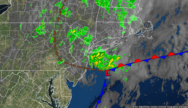
An area of low pressure will linger over the coastal waters through tomorrow with scattered to broken cloud cover and isolated to widely scattered showers. The showers will be capable of heavy downpours at times. Winds will be from the northwest at 5 to 10 mph. Temperatures will rise into the mid-60s to lower 70s along the coast and upper 60s to mid-70s away from the coast for highs today. Temperatures tomorrow will range from the
mid-50s to lower 60s for lows and lower to mid-70s along the coast and mid-70s to lower 80s away from the coast for highs.
A trough will linger over the region on Monday with scattered clouds and isolated showers. Winds will be from the northwest at 5 to 15 mph. Temperatures will range from the lower to mid-60s for lows and mid-70s to lower 80 along the coast and mid to upper 80s away from the coast for highs.
Hazy, hot, and humid conditions return on Tuesday and Wednesday with areas of fog in the morning and isolated showers and thunderstorms in the afternoon. Temperatures on Tuesday will range from the upper 60s to lower 70s for lows and lower to mid-80s along the coast and upper 80s to mid-90s away from the coast for highs. Temperatures on Wednesday will range from the upper 60s to mid-70s for lows and lower to mid-80s along the coast and upper
80s to mid-90s away from the coast for highs. A heat index in the mid-90s to lower 100s will be a threat.
A cold front will slowly drop south through the region on Thursday and Friday with waves of showers and thunderstorms. The thunderstorms will be capable of tropical downpours, frequent vivid lightning, and wind gusts over 40 mph. The remnants of Elsa may enhance the rainfall ahead of the cold front. Temperatures on Thursday will range from the lower to mid-70s for lows and mid-80s to lower 90s for highs. Temperatures on Friday will
range from the mid-60s to lower 70s for lows and mid to upper 80s for highs.
A trough will linger over the region on Saturday with scattered clouds and isolated showers. Temperatures on Saturday will range from the mid-60s to lower 70s for lows and mid-70s to lower 80s along the coast and lower to mid-80s away from the coast for highs.