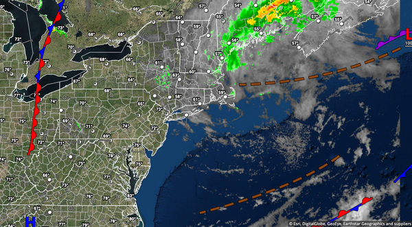
A few pesky showers will be a risk this afternoon, but the only fireworks this evening will be man-made as skies are expected to clear. A return to more seasonable hot and humid conditions is expected next week.
A trough will linger over the region through tomorrow with scattered clouds and isolated showers and thunderstorms in the afternoon. Skies will clear in the evening through overnight hours with tranquil conditions expected. Winds will be from the northwest at 5 to 15 mph. Temperatures will rise into the lower to mid-70s on the coast and upper 70s to lower 80s away from the coast for highs. Temperatures tomorrow will range from the
upper 50s to mid-60s for lows and mid-70s to lower 80 along the coast and lower to mid-80s away from the coast for highs.
Hazy, hot, and humid conditions return on Tuesday and Wednesday with areas of fog in the morning and isolated showers and thunderstorms in the afternoon. Winds will be from the southwest at 5 to 15 mph. Temperatures on Tuesday will range from the upper 60s to lower 70s for lows and lower to mid-80s along the coast and upper 80s to mid-90s away from the coast for highs. Temperatures on Wednesday will range from the upper 60s to mid-70s for
lows and lower to mid-80s along the coast and upper 80s to mid-90s away from the coast for highs. A heat index in the mid-90s to lower 100s will be a threat.
A cold front will slowly drop south through the region on Thursday and Friday with waves of showers and thunderstorms. The thunderstorms will be capable of tropical downpours, frequent vivid lightning, and wind gusts over 40 mph. The remnants of Elsa may enhance the rainfall ahead of the cold front. Temperatures on Thursday will range from the lower to mid-70s for lows and mid-80s to lower 90s for highs. Temperatures on Friday will
range from the mid-60s to lower 70s for lows and mid to upper 80s for highs.
A trough will linger over the region on Saturday with scattered clouds and isolated showers. Temperatures on Saturday will range from the mid-60s to lower 70s for lows and mid-70s to lower 80s along the coast and lower to mid-80s away from the coast for highs.
Another cold front will approach on Sunday with scattered showers and thunderstorms in the late morning through evening hours. Temperatures on Sunday will range from the lower to mid-70s over the interior and mid-70s to lower 80s along the coast for lows and lower to mid-80s along the coast and mid-80s to lower 90s away from the coast for highs.