Pesky showers will linger through the weekend followed by the return of a tropical air mass for next week.
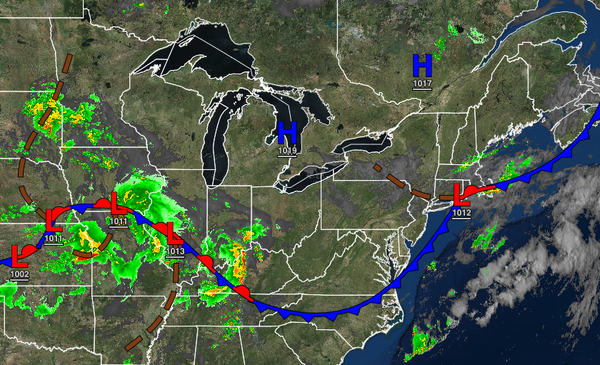
A stationary front and a trough of low pressure will linger over the region today through tomorrow with a mix of sun and clouds along with isolated showers. Winds will back from the northwest to the southeast at 5 to 10 mph. Temperatures will rise into the mid to upper 70s over the interior, upper 70s to lower 80s along the coast, and lower to mid-80s in the Delaware River Valley for highs. Temperatures on Sunday will range from the lower
to mid-60s over the interior and mid to upper 60s along the coast for lows and mid-70s to lower 80s along the coast, mid to upper 80s in the Delaware River Valley, and upper 70s to mid-80s over the interior for highs.
An area of low pressure with a warm front will produce periods of showers on Monday. Winds will veer to the southwest at 5 to 15 mph. Temperatures on Monday will range from the lower to mid-70s for lows and upper 70s to mid-80s along the coast, mid to upper 80s in the Delaware River Valley, and lower to mid-80s over the interior for highs.
A tropical air mass will be in place Tuesday through Friday with areas of fog and low clouds in the morning and isolated to widely scattered showers and thunderstorms in the afternoon. Temperatures will range from the upper 60s to lower 70s over the interior and lower to mid-70s along the coast for lows and lower to mid-80s along the coast and mid-80s to lower 90s away from the coast for highs. A heat index in the mid-90s to lower 100s can be
expected through this period.
A strong cold front will slowly move through the region on Saturday with waves of showers and thunderstorms. Temperatures will range from the upper 60s to mid-70s for lows and upper 70s to mid-80s over the interior, mid to upper 80s along the coast, and upper 80s to lower 90s in the Delaware River Valley for highs.