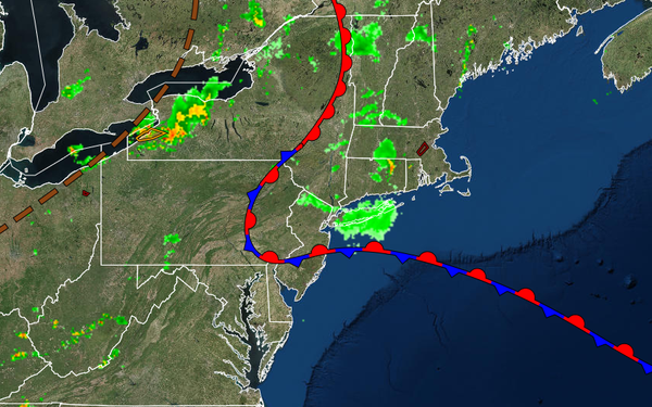
A tropical air mass will return to the entire region today as a warm front lifts north with areas of fog and isolated thunderstorms. Another slow-moving cold front is likely by this weekend.
A warm front will slowly lift northward today with dense fog, low clouds, and isolated showers giving way to scattered clouds and isolated thunderstorms this afternoon and evening. The thunderstorms will be capable of heavy downpours, frequent lightning, and wind gusts over 40 mph. Winds will veer to the southwest at 5 to 15 mph. Temperatures will rise into the upper 70s to mid-80s over the interior, mid to upper 80s along the coast, and
upper 80s to lower 90s in the Delaware River Valley for highs.
A tropical air mass will be in place tonight through Friday with locally dense fog and low clouds in the morning and scattered clouds along with isolated thunderstorms in the afternoon. The thunderstorms will be capable of intense downpours, frequent lightning, and wind gusts over 40 mph. Winds will be from the south-southwest at 5 to 15 mph. Temperatures will range from the upper 60s to mid-70s for lows and lower to mid-80s along the
coast and mid-80s to lower 90s away from the coast for highs.
A cold front will slowly move through the region on Saturday with scattered showers and thunderstorms. Temperatures on Saturday will range from the lower to mid-70s for lows and lower to mid-80s along the coast and mid-80s to lower 90s away from the coast for highs.
The cold front will stall over the coastal waters Sunday through Wednesday with waves of low pressure producing scattered to broken cloud cover and isolated to widely scattered showers. Temperatures will range from the mid to upper 60s over the interior and lower to mid-70s along the coast for lows and mid-70s to lower 80s along the coast, upper 70s to lower 80s over the interior, and lower to mid-80s in the Delaware River Valley for
highs.