The tropical air mass has been pushed back over the western Atlantic, but unsettled conditions will linger through this week. Significant rainfall is expected by the end of next weekend.
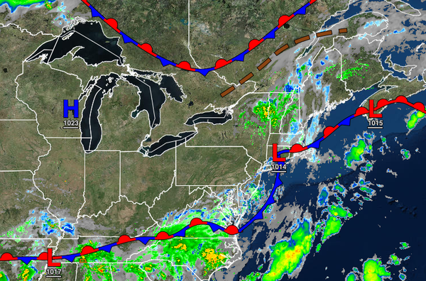
A stationary front with waves of low pressure will linger over the coastal waters and eventually collapse today through tomorrow with scattered clouds and isolated showers. Winds will back from the north to the southwest at 5 to 10 mph with gusts up to 15 mph at times. Temperatures will rise into the upper 70s to lower 80s along the coast and higher elevations and mid to upper 80s in the Delaware River Valley for highs. Temperatures
tomorrow will range from the lower to mid-60s over the interior and mid to upper 60s along the coast for lows and lower to mid-80s over the interior and along the coast and upper 80s to lower 90s in the Delaware River Valley for highs.
The first of a series of cold fronts will move through the region on Wednesday with scattered to broken cloud cover along with isolated to widely scattered showers. Winds will veer to the northwest at 5 to 15 mph. Temperatures will range from the mid-60s to lower 70s for lows and mid-70s to lower 80s over the interior and mid-80s to lower 90s in the Delaware River Valley and along the coast for highs.
A series of cold fronts will follow on Thursday and Friday with scattered clouds and isolated showers. Temperatures on Thursday will range from the mid-50s to lower 60s over the interior and lower to mid-60s along the coast for lows and upper 70s to lower 80s over the interior and along the coast and lower to mid-80s in the Delaware River Valley for highs. Temperatures on Friday will range from the mid-60s to lower 70s for lows and mid-70s to
lower 80s over the interior, upper 70s to mid-80s along the coast, and mid to upper 80s in the Delaware River Valley for highs.
High pressure will produce clear skies to scattered cloud cover on Saturday. Temperatures will range from the mid-50s to lower 60s over the interior and lower to mid-60s along the coast for lows and mid-70s to lower 80s for highs.
An area of low pressure will approach on Sunday with increasing clouds and showers towards evening. Temperatures will range from the lower to mid-60s for lows and mid-70s to lower 80s for highs.
Widespread rainfall is expected on Monday as the area of low pressure passes through the region. Temperatures on Monday will range from the mid-60s to lower 70s for lows and mid-70s to lower 80s for highs.