Cool and unsettled conditions are expected through the weekend with a few pesky showers hanging around. A return to more tropical weather conditions is expected by next week.
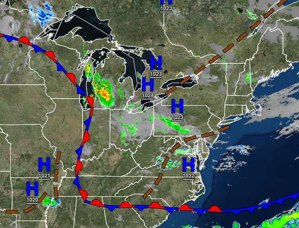
A series of weak troughs will pass through the region today and tomorrow with scattered clouds and a few isolated showers. Winds will back from the northwest to the southwest at 5 to 10 mph. Temperatures will rise into the mid-70s to lower 80s over the interior and lower to mid-80s along the coast for highs today. Temperatures tomorrow will range from the mid to upper 50s over the interior and lower to mid-60s along the coast for lows and
mid-70s to lower 80s along the coast, lower to mid-80s away from the coast for highs.
A warm front will lift through the region on Sunday with widely scattered showers becoming widespread towards evening. Winds will be from the south-southwest at 5 to 15 mph. Temperatures on Sunday will range from the mid-60s to lower 70s for lows and upper 70s to lower 80s along the coast, lower to mid-80s for the interior, and mid-80s to lower 90s in the Delaware River Valley for highs.
A cold front will follow on Monday with periods of showers throughout the day. Temperatures on Monday will range from the mid-60s to lower 70s for lows and lower to mid-80s over the interior and mid to upper 80s for the rest of the region for highs.
A series of cold fronts and troughs will follow on Tuesday through Friday with scattered clouds and isolated to widely scattered showers. Temperatures through Thursday will range from the lower to mid-60s over the interior and upper 60s to lower 70s along the coast for lows and upper 70s to mid-80s along the coast, lower to mid-80s over the interior, and mid-80s to lower 90s in the Delaware River Valley for highs. Temperatures on Friday will
range from the upper 50s to lower 60s over the interior and mid to upper 60s along the coast for lows and upper 70s to lower 80s over the interior, lower to mid-80s along the coast, and mid-80s to lower 90s in the Delaware River Valley for highs.