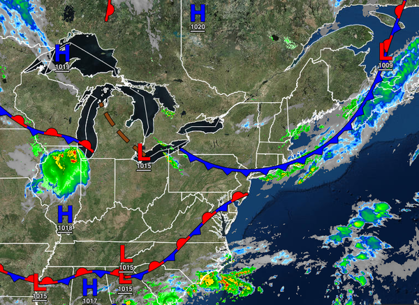
A slow-moving cold front will keep the threat for showers and thunderstorms in the forecast, but cooler and drier weather is on the way for the weekend.
A cold front will continue to slowly drop south through this afternoon with scattered clouds and isolated to widely scattered showers and thunderstorms. Winds will veer from the west to northeast at 5 to 15 mph. Temperatures will rise into the upper 70s to lower 80s over the interior, upper 70s to mid-80s along the coast, and mid-80s to lower 90s in the Delaware River Valley for highs.
A wave of low pressure will move along the cold front tonight through tomorrow with scattered to broken cloud cover and widely scattered to scattered showers and thunderstorms. The thunderstorms will be capable of heavy downpours, frequent lightning, hail, wind gusts up to 75 mph, and an isolated tornado. Winds will veer to the south at 5 to 15 mph. Temperatures will range from the lower to mid-60s over the interior and mid-60s to lower
70s along the coast for lows and mid-70s to lower 80s along the coast, lower to mid-80s in the Delaware River Valley, and upper 70s to lower 80s for the higher elevations for highs.
Another cold front will follow on Friday with scattered clouds and isolated showers, especially in the morning hours. Skies will clear in the afternoon. Winds will veer to the northwest at 5 to 15 mph. Temperatures will range from the lower to mid-60s over the interior and upper 60s to lower 70s along the coast for lows and lower to mid-70s over the interior, upper 70s to mid-80s along the coast, and lower to mid-80s in the Delaware River
Valley for highs.
High pressure will produce clear skies to scattered cloud cover on Saturday through Sunday afternoon. Isolated showers will be a threat in the evening. Temperatures on Saturday will range from the lower to mid-50s over the interior and upper 50s to lower 60s along the coast for lows and lower to mid-70s over the interior and mid-70s to lower 80s along the coast for highs. Temperatures on Sunday will range from the mid-50s to lower 60s for
lows and mid-70s to lower 80s for highs.
A series of cold fronts will follow Monday through Wednesday with scattered clouds and isolated to widely scattered showers. Temperatures on Monday will range from the upper 50s to mid-60s for lows and lower to mid-70s over the interior, upper 70s to lower 80s along the coast, and lower to mid-80s in the Delaware River Valley for highs. Temperatures on Tuesday will range from the mid-50s to lower 60s over the interior and lower to mid-60s along
the coast for lows and mid to upper 70s over the interior and along the coast and upper 70s to lower 80s in the Delaware River Valley for highs. Temperatures on Wednesday will range from the upper 50s to mid-60s for lows and upper 70s to lower 80s over the interior, mid-70s to lower 80s along the coast, and lower to mid-80s in the Delaware River Valley for highs.