An active weather pattern will keep the threat for showers and thunderstorms in place throughout the week along with a smokey haze. Cool conditions are expected by this weekend for many locations.
A cold front will remain stalled over the coastal waters through this evening with scattered cloud cover and a threat for isolated showers. A smokey haze will linger over the region today with poor air quality a health concern. Winds will be from the west at 5 to 15 mph. Temperatures will rise into the mid-80s to lower 90s for highs throughout the region.
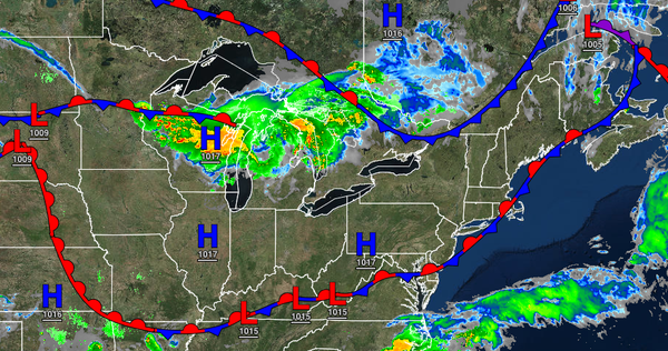
A cold front will drop south through the region tomorrow with scattered showers and thunderstorms. The thunderstorms will be capable of heavy downpours, frequent lightning, small hail, and wind gusts over 40 mph. A smokey haze will linger over the region ahead of the thunderstorms. Winds will be from the west at 5 to 15 mph. Temperatures will range from the mid-60s to lower 70s for lows and upper 70s to lower 80s over the interior, lower
to mid-80s along the coast, and mid-80s to lower 90s in the Delaware River Valley for highs.
A wave of low pressure will travel along the frontal boundary on Thursday with isolated to widely scattered showers. Winds will back from the northeast to the south at 5 to 15 mph. Temperatures will range from the lower to mid-60s over the interior and mid-60s to lower 70s along the coast for lows and mid-70s to lower 80s along the coast, upper 70s to mid-80s over the interior, and lower to mid-80s in the Delaware River Valley for
highs.
A weak cold front will follow on Friday with scattered clouds and isolated showers. Temperatures will range from the mid-60s to lower 70s for lows and upper 70s to mid-80s over the interior, lower to mid-80s along the coast, and upper 80s to lower 90s in the Delaware River Valley for highs.
High pressure will be in control on Saturday and Sunday with clear skies to scattered cloud cover. Temperatures on Saturday will range from the lower to mid-50s over the interior to the upper 50s to lower 60s along the coast for lows and lower to mid-70s over the interior and upper 70s to lower 80s along the coast and in the Delaware River Valley for highs. Temperatures on Sunday will range from the mid-50s to lower 60s for lows and upper 70s
to lower 80s in the higher elevations and along the coast and mid-80s elsewhere for highs.
A series of cold fronts will follow on Monday and Tuesday with scattered showers and thunderstorms. Temperatures on Monday will range from the lower to mid-60s over the interior and mid to upper 60s along the coast for lows and upper 70s to mid-80s over the interior, lower to mid-80s along the coast, and upper 80s to lower 90s in the Delaware River Valley for highs. Temperatures on Tuesday will range from the lower to mid-60s over the interior
and mid to upper 60s along the coast for lows and mid-70s to lower 80s for highs.