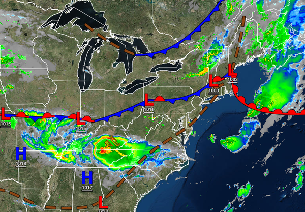
After a historically stormy day with a record 12 tornado warnings in the region from eastern Pennsylvania to central New Jersey, a far more tranquil weather pattern returns through tomorrow. A wet weather pattern returns for the end of next week.
A cold front will clear the region by this afternoon with a few isolated showers giving way to clear skies by this evening. Winds will veer to the northwest at 5 to 15 mph. Temperatures will rise into the lower to mid-70s over the interior and upper 70s to mid-80s in the Delaware River Valley and along the coast for highs.
High pressure will be in control tonight through tomorrow with clear skies to scattered cloud cover. Winds will be from the northwest at 5 to 10 mph. Temperatures will range from the lower to mid-50s over the interior and upper 50s to lower 60s along the coast for lows and lower to mid-70s over the interior, mid-70s to lower 80s along the coast, and lower to mid-80s in the Delaware River Valley for highs
An area of low pressure will pass through the region on Sunday with scattered showers expected through the day. Winds will be from the south at 5 to 15 mph. Temperatures will range from the upper 50s to mid-60s for lows and lower to mid-70s over the interior and mid to upper 70s in the Delaware River Valley and along the coast for highs.
A weak trough will pass through the region with scattered clouds and very isolated showers on Monday. Temperatures will range from the lower to mid-60s for lows and mid to upper 70s over the interior, upper 70s to lower 80s along the coast, and lower to mid-80s in the Delaware River Valley for highs.
A series of cold fronts will approach and stall over the region on Tuesday and Wednesday with broken cloud cover and isolated to widely scattered showers. Temperatures on Tuesday will range from the upper 50s to lower 60s over the interior and mid to upper 60s along the coast for lows and mid-70s to lower 80s for highs. Temperatures on Wednesday will range from the upper 50s to mid-60s for lows and mid-70s to lower 80s for
highs.
A stationary front with waves of low pressure and plenty of tropical moisture will produce waves of rainfall on Thursday and Friday. There is a potential for flash flooding in this period with rainfall amounts of 1" to 3" possible. Temperatures on Thursday will range from the lower to mid-60s over the interior and upper 60s to lower 70s along the coast for lows and mid-70s to lower 80s for highs. Temperatures on Friday will range from the
mid-60s to lower 70s for lows and upper 70s to mid-80s for highs.