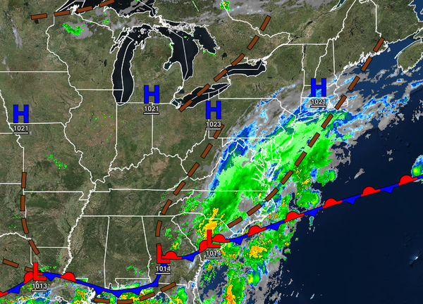
A stationary front with waves of low pressure will keep unsettled conditions in place through the week with an increasing shower threat along the coast and cloudy skies.
A stationary front to the south and high pressure to the north will produce scattered to overcast skies with a few isolated showers along the coast through tomorrow. Winds will veer from the northeast to the east at 5 to 15 mph. Temperatures will rise into the mid to upper 70s for highs today. Temperatures tomorrow will range from the upper 50s to lower 60s over the interior and lower to mid-60s along the coast for lows and lower to
mid-70s along the coast and upper 70s to lower 80s away from the coast for highs.
A wave of low pressure will pass through the coastal waters on Thursday with broken to overcast cloud cover throughout the region and isolated to widely scattered showers away from the coast and scattered showers along the coast. The showers will be capable of heavy downpours at times along the coast with some locations with over 1.00" of rain. Winds will back from the northeast to the west at 5 to 15 mph. Temperatures will range from the
mid to upper 50s over the interior and upper 50s to lower 60s along the coast for lows and lower to mid-70s along the coast, upper 70s to lower 80s over the interior, and upper 70s to mid-80s in the Delaware River Valley for highs.
A series of weak troughs will pass through the region Friday through increasing humidity, fog in the morning hours, and isolated showers and thunderstorms in the afternoon and evening. Temperatures on Friday will range from the lower to mid-60s for lows and lower to mid-80s along the coast, mid to upper 80s over the interior, and upper 80s to lower 90s in the Delaware River Valley. Temperatures on Saturday through Monday will range from the
mid-60s to lower 70s for lows and lower to mid-80s along the coast, mid to upper 80s over the interior, and upper 80s to lower 90s in the Delaware River Valley for highs. Temperatures on Tuesday will range from the upper 60s to mid-70s for lows and lower to mid-80s along the coast and upper 80s to mid-90s away from the coast. A heat index of 95 to 105 degrees will be possible in this period.