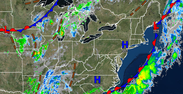
Sunny and hot conditions will return today and tomorrow, but rain on the coast will return by tomorrow night. An unsettled tropical weather pattern settles in for next week.
High pressure will pass over the region today through tomorrow afternoon with clear skies to scattered clouds. Winds will back from the southwest to the southeast at 5 to 10 mph. Temperatures will rise into the lower to mid-80s along the coast and mid to upper 80s away from the coast for highs today. Temperatures tomorrow will range from the mid to upper 60s for lows and lower to mid-80s along the coast and mid-80s to lower 90s away from
the coast for highs.
An area of low pressure will pass through the region tomorrow evening through early Sunday morning with periods of showers along the coast and scattered clouds with isolated showers away from the coast. Winds will veer to the south at 5 to 15 mph. Temperatures will fall into the mid to upper 60s for lows.
Scattered clouds are expected Sunday afternoon and evening with a few isolated showers possible. Winds will be from the south at 5 to 15 mph. Temperatures on Sunday afternoon will rise into the upper 70s to lower 80s along the coast and lower to mid-80s away from the coast for highs.
As the influence of the Bermuda high-pressure system builds into the region, a series of troughs and weak cold fronts will attempt to move through the region Monday through Friday with a far more tropical air mass in place. Through this period, fog and low clouds will be a threat in the morning hours and scattered clouds with isolated showers and thunderstorms in the afternoon. The thunderstorms will be capable of intense downpours, frequent
lightning, and strong wind gusts over 40 mph. Temperatures through the period will range from the mid-60s to lower 70s over the interior, lower to mid-70s along the coast, and mid to upper 70s in the urban areas for lows and lower to mid-80s along the coast, mid-80s to lower 90s over the interior, and upper 80s to mid-90s in the Delaware River Valley and urban areas for highs. A heat index over 95 degrees will be likely in this period.