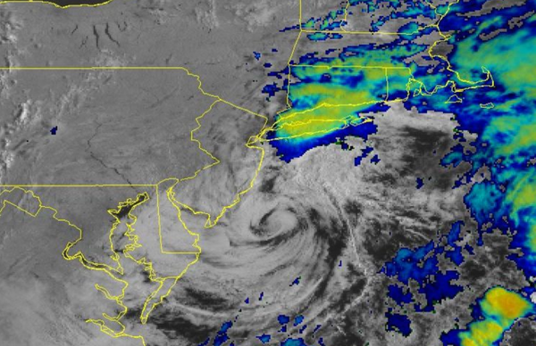
A coastal low-pressure system will continue to produce scattered to widespread showers this morning. After the low exits, a tropical air mass will take hold and remain through the upcoming week.
An area of low pressure will slowly pull away from the region through this afternoon with periods of showers exiting into the Atlantic Ocean by this afternoon giving way to scattered clouds. Scattered clouds with a few isolated showers can be expected away from the coast. Winds will back from the northeast to the northwest at 5 to 15 mph. Temperatures will rise into the lower to mid-70s along the coast, upper 70s to lower 80s in the
Delaware River Valley, and lower to mid-80s over the interior.
High pressure will produce scattered cloud cover tonight through tomorrow. Winds will back to the south at 5 to 15 mph. Temperatures tomorrow will range from the mid to upper 60s for lows and lower to mid-80s along the coast and mid to upper 80s away from the coast for highs.
A tropical air mass will be in place Tuesday through Thursday with fog in the morning and isolated to widely scattered thunderstorms in the afternoon. The thunderstorms will be capable of frequent lightning, intense downpours, and wind gusts over 40 mph. Winds will be from the south at 5 to 15 mph. Temperatures will range from the upper 60s to lower 70s over the interior, lower to mid-70s along the coast, and mid to upper 70s in the urban
areas for lows and lower to mid-80s along the coast, upper 80s to lower 90s over the interior, and upper 80s to mid-90s in the Delaware River Valley for highs. A heat index between 95 to 105 degrees will be possible in the afternoon hours.
A strong cold front will slowly drop south Friday and Saturday with waves of showers and thunderstorms. A few thunderstorms may reach severe levels. Temperatures on Friday will range from the upper 60s to mid-70s for lows and lower to mid-80s on the coast, mid-80s to lower 90s over the interior, and upper 80s to mid-90s in the Delaware River Valley for highs. Temperatures on Saturday will range from the upper 60s to mid-70s for lows and
lower to mid-80s over the interior, mid to upper 80s along the coast, and upper 80s to lower 90s in the Delaware River Valley for highs.
High pressure will be in control on Sunday with clear skies to scattered cloud cover. Temperatures will range from the mid-50s to the lower 60s over the interior and mid to upper 60s along the coast for lows and upper 70s to the lower 80s over the interior, lower to mid-80s along the coast, and mid to upper 80s in the Delaware River Valley for highs.