A tropical air mass will continue to invade the region today and bring rising humidity, tropical thunderstorms, and a heat index pushing over 100 degrees by tomorrow.
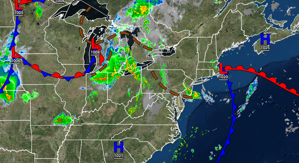
A trough of low pressure will lift through the region today with scattered to broken clouds and isolated thunderstorms. The thunderstorms will be capable of intense downpours, frequent lightning, and wind gusts over 40 mph. Localized flash flooding and poor visibility will be a threat. Winds will back from the southeast to the south at 5 to 10 mph. Temperatures will rise into the upper 70s to mid-80s along the coast, mid to upper
80s over the interior, and upper 80s to lower 90s in the Delaware River Valley for highs.
A tropical air mass will be established over the region Wednesday through Friday with fog a threat in the morning and isolated to widely scattered thunderstorms, especially in the afternoon hours. The fog will have the potential to be locally dense with visibility below a mile. The thunderstorms will be capable of torrential downpours, frequent vivid lightning, hail, and wind gusts up to 75 mph. The thunderstorms will have the potential
to produce flash flooding and wind damage. Winds will be from the south at 5 to 10 mph. Temperatures on Wednesday will range from the lower to mid-70s for lows and lower to mid-80s along the coast and upper 80s to lower 90s away from the coast. Temperatures on Thursday and Friday will range from the lower to mid-70s over the interior and mid to upper 70s along the coast for lows and mid to upper 80s along the coast, upper 80s to lower 90s over the interior, and mid to upper 90s
in the Delaware River Valley. A heat index of 95 to 110 degrees will be a threat in the afternoon hours.
A cold front will slowly sink through the region on Saturday with widespread showers and thunderstorms. The thunderstorms will have the potential to reach severe levels. Temperatures on Saturday will range from the lower to mid-70s over the interior and mid to upper 70s along the coast for lows and mid-80s to lower 90s for highs.
The cold front will exit on Sunday with lingering showers in the morning and clearing skies in the afternoon. Temperatures will range from the mid-50s to lower 60s over the interior and mid-60s to lower 70s along the coast for lows and upper 70s to lower 80s over the interior and lower to mid-80s along the coast and Delaware River Valley for highs.
High pressure will be in control on Monday with clear skies to scattered cloud cover. Temperatures will range from the mid-50s to lower 60s over the interior and mid to upper 60s along the coast for lows and lower to mid-80s for highs.
High pressure will exit on Tuesday with increasing clouds and showers developing towards evening. Temperatures will range from the mid to upper 60s for lows and mid-70s to lower 80s for highs.