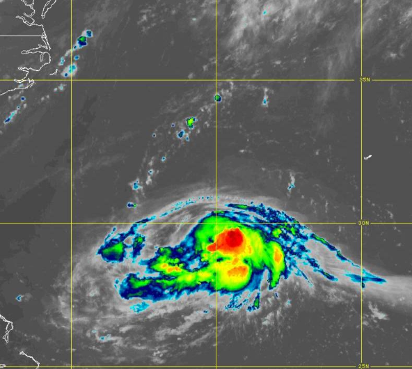
Tropical Storm Henri has become a complicated forecasting question over the past 24 hours as the question of just how strong Henri will get between today through Friday. The GFS solutions which are generally further west, feature a stronger storm that features a major hurricane status while the ECMWF solutions are further to the east as Henri is forecasted to be weaker, around tropical storm strength. This question will likely be answered by
recon observations that are expected this afternoon.
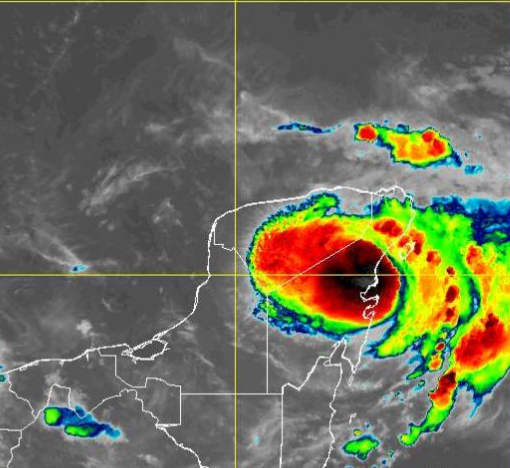
However, right now I would lean towards a weaker solution than any of the GFS guidance has been suggesting given the current state of Henri. Henri is battling dry air and northerly shear with a poor convective structure around the low-level center. The low-level center is south of the bulk of the convection this morning and features a suppressed outflow pattern.
As Henri moves to the west, the storm will fall under the influence of the developing trough over the Eastern United States and the upper-level low forming over the Ohio River Valley by tomorrow night. This trough will initially be in a positive orientation and thus feature strong south to southwesterly mid and upper-level winds that will turn Henri to the north and produce strong vertical wind shear. While Henri will be moving over the Gulf
Stream, which will support some strengthening, the vertical wind shear should cap the potential of this strengthening to a category 1, maybe category 2 hurricane at most. The storm should move quickly to the north at first and by Sunday will be approaching the coastal waters of eastern New England. Given the data at hand right now, I expect eastern New England to be at the highest threat for impact and not the northern Mid Atlantic, including Long Island. This forecast would
shift west if Henri manages to strengthen above the current forecast. Basically, if Henri reaches category 3 strength, then the New Jersey coast and Long Island will be at threat, but I don't see that happening based on all available data.