After the heavy rainfall from Henri, a tropical air mass has returned for the rest of this week with muggy conditions in the afternoon. A wet weather pattern returns by the end of this week through the weekend.
TODAY
High pressure will continue to build into the region today with clear skies to scattered clouds. Winds will back from the west to the southwest at 5 to 15 mph. Temperatures will rise into the lower to mid-80s over the interior, mid to upper 80s along the coast, and upper 80s to lower 90s in the Delaware River Valley for highs. A heat index in the lower to mid-90s can be expected this afternoon.
TONIGHT THROUGH TOMORROW
High pressure will pass over to the north of the region tonight through tomorrow with clear skies to scattered clouds. Fog may develop in the morning hours. Winds will back to the southwest to the south at 5 to 15 mph. Temperatures tomorrow will range from the mid to upper 60s over the interior and upper 60s to lower 70s along the coast for lows and mid to upper 80s over the interior and upper 80s to lower 90s in the Delaware River Valley and
along the coast for highs. A heat index in the lower to mid-90s can be expected.
THURSDAY
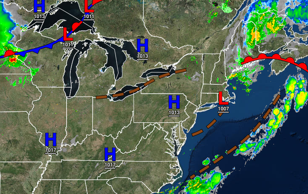
A cold front will approach the region on Thursday with isolated to widely scattered showers and thunderstorms in the late afternoon and evening. The thunderstorms will be capable of heavy downpours, frequent lightning, and wind gusts over 40 mph. Winds will be from the south-southwest at 5 to 15 mph. Temperatures will range from the lower to mid-70s for lows and lower to mid-80s over the interior, mid to upper 80s along the coast, and upper 80s
to lower 90s in the Delaware River Valley for highs.
FRIDAY-MONDAY
The cold front will stall and waver over the region Friday through Monday with scattered to broken cloud cover and scattered showers capable of heavy downpours at times. Temperatures on Friday will range from the lower to mid-70s for lows and lower to mid-80s over the interior, mid-80s along the coast, and upper 80s to lower 90s in the Delaware River Valley for highs. Temperatures on Saturday through Monday will range from the mid to upper 60s over the
interior, upper 60s to lower 70s along the coast, and lower to mid-70s in the Delaware River Valley for lows and mid to upper 70s over the interior, mid-70s to lower 80s along the coast, and lower to mid-80s in the Delaware River Valley for highs.
TUESDAY
A strong cold front will approach from the Great Lakes on Tuesday with widespread showers and thunderstorms expected on Tuesday. Temperatures will range from the upper 60s to lower 70s for lows and upper 70s to lower 80s over the interior and coast and lower to mid-80s in the Delaware River Valley for highs.