A tropical air mass will keep hot and humid conditions in place through the end of the week. The threat for heavy rainfall returns for the weekend.
TODAY
High pressure will produce hazy, hot, and humid conditions with morning low clouds and fog giving way to scattered clouds. Winds will be from the south-southwest at around 5 mph. Temperatures will rise into the lower to mid-80s over the interior and upper 80s to lower 90s in the Delaware River Valley and along the coast. A heat index of 95 to 100 degrees is expected for the I-95 corridor.
TONIGHT
Scattered clouds are expected with locally dense fog in a few locations. Fog will reduce visibility below 2 miles in a few locations. Winds will be from the southwest at 5 mph. Temperatures will fall into the lower to mid-70s for lows.
TOMORROW
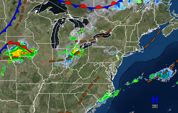
A cold front will approach tomorrow with morning fog giving to scattered clouds in the afternoon and isolated thunderstorms in the late afternoon and evening. The thunderstorms will be capable of intense downpours, frequent lightning, and wind gusts over 40 mph. Winds will be from the southwest at 5 to 15 mph. Temperatures will rise into the mid to upper 80s over the interior and upper 80s to lower 90s in the Delaware River Valley and along the
coast for highs. A heat index in the mid to upper 90s is expected.
FRIDAY
The cold front will stall over the region with scattered to broken cloud cover and scattered showers. Winds will be from the southwest at 5 to 15 mph. Temperatures will range from the upper 60s to lower 70s over the interior and lower to mid-70s along the coast for lows and mid to upper 80s over the interior and upper 80s to lower 90s along the coast and in the Delaware River Valley for highs.
SATURDAY THROUGH MONDAY
A stationary front with waves of low pressure will produce periods of showers, heavy at times. Rainfall amounts will range from 0.50" to 1.50" with locally higher amounts possible. Temperatures through the period will range from the mid to upper 60s over the interior and lower to mid-70s along the coast for lows and upper 70s to lower 80s over the interior, upper 70s to mid-80s along the coast, and lower to mid-80s in the Delaware River Valley for
highs.
TUESDAY
A cold front will produce scattered showers and thunderstorms. The thunderstorms will be capable of heavy downpours, frequent lightning, and wind gusts over 40 mph. Temperatures on Tuesday will range from the upper 60s to lower 70s for lows and upper 70s to lower 80s over the interior and mid to upper 80s along the coast and Delaware River Valley for highs.
WEDNESDAY
High pressure will produce clear skies to scattered cloud cover. Temperatures will range from the upper 50s to lower 60s over the interior and mid to upper 60s along the coast for lows and mid to upper 70s over the interior and upper 70s to lower 80s along the coast for highs.