Hazy, hot, and humid conditions will continue this afternoon with a heat index pushing to 100 degrees. A wet weather pattern returns by the weekend.
TODAY
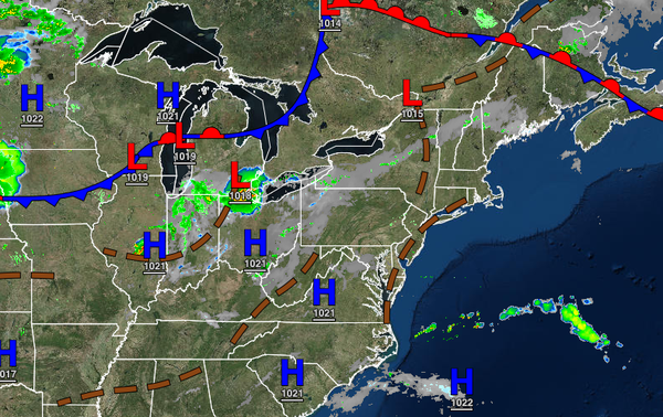
A cold front will approach the region this afternoon with fog in the morning followed by scattered clouds with isolated thunderstorms in the afternoon and evening. Winds will be from the south-southwest at 5 to 15 mph. Temperatures will rise into the mid to upper 80s over the interior and upper 80s to lower 90s in the Delaware River Valley and along the coast for highs. A heat index in the mid-90s to lower 100s can be expected.
TONIGHT THROUGH TOMORROW
The cold front will stall over the region tonight through tomorrow with broken cloud cover and scattered showers and thunderstorms in the afternoon and evening hours. The thunderstorms will be capable of heavy downpours, frequent lightning, and wind gusts over 40 mph. Winds will be from the southwest at 5 to 15 mph. Temperatures tomorrow will range from the upper 60s to lower 70s over the interior and lower to mid-70s along the coast for lows and
mid-80s to lower 90s for highs. A heat index in the mid to upper 90s can be expected.
SATURDAY AND SUNDAY
A stalled frontal boundary with waves of low pressure will produce periods of showers, heavy at times, on Saturday and Sunday. Winds will be from the southeast at 5 to 15 mph away from the coast and 10 to 20 mph along the coast. Temperatures will range from the mid to upper 60s over the interior and upper 60s to mid-70s along the coast for lows and mid-70s to lower 80s for highs.
MONDAY AND TUESDAY
A cold front will pass through the region Monday afternoon through Tuesday morning with periods of showers and thunderstorms. Skies will clear on Tuesday afternoon. Temperatures on Monday will range from the upper 60s to lower 70s for lows and upper 70s to mid-80s for highs. Temperatures on Tuesday will range from the mid-60s to lower 70s for lows and upper 70s to lower 80s over the interior and mid to upper 80s along the coast.
WEDNESDAY AND THURSDAY
The stationary front will remain to the south of the region on Wednesday and Thursday with the remnants of a tropical low-pressure system produce periods of scattered showers. Temperatures on Wednesday will range from the lower to mid-60s over the interior and upper 60s to lower 70s along the coast for lows and upper 60s to lower 70s over the interior and lower to mid-70s along the coast for highs. Temperatures on Thursday will range from the upper 50s
to lower 60s over the interior and mid to upper 60s along the coast for lows and mid to upper 70s for highs.