Onshore winds will provide a break from the heat, but not so much from the humidity with a threat for showers capable of heavy downpours throughout the region. The remnants of Ida have the potential to produce heavy rainfall by next Wednesday.
TODAY
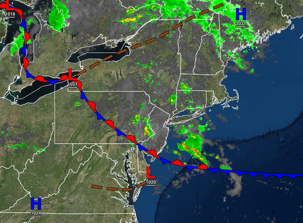
A stalling cold front will produce broken to overcast skies with scattered showers capable of heavy downpours at times. Winds will be from the southeast at 5 to 15 mph. Temperatures will rise into the mid to upper 70s for highs.
TONIGHT
Overcast skies with some fog and scattered showers will continue through tomorrow morning. Winds will be from the southeast at 5 to 15 mph. Temperatures will fall into the mid to upper 60s over the interior and upper 60s to lower 70s along the coast for lows.
TOMORROW
The frontal boundary will waver over the region with scattered to broken cloud cover with isolated to widely scattered showers capable of heavy downpours. Winds will be from the southeast at 5 to 15mph. Temperatures will rise into the upper 70s to lower 80s along the coast and lower to mid-80s away from the coast for highs.
MONDAY
A strong cold front will approach on Monday with morning fog and showers giving way to scattered showers and thunderstorms, possibly up to severe levels. The thunderstorms will be capable of intense downpours, frequent lightning, and wind gusts over 40 mph. Winds will veer to the southwest at 5 to 15 mph. Temperatures will range from the upper 60s to lower 70s for lows and lower to mid-80s over the interior, upper 70s to mid-80s along the coast,
and mid to upper 80s in the Delaware River Valley for highs.
TUESDAY
High pressure will build south with a few lingering showers in the morning giving way to clearing skies. Temperatures will range from the lower to mid-60s over the interior and upper 60s to lower 70s along the coast for lows and upper 70s to lower 80s over the interior, lower to mid-80s along the coast, and mid to upper 80s in the Delaware River Valley for highs.
WEDNESDAY AND THURSDAY
The remnants of Hurricane Ida will move through the region Wednesday afternoon through Thursday afternoon with periods of rain, heavy at times. Flash flooding will be a threat. Temperatures will range from the lower to mid-60s over the interior and upper 60s to lower 70s along the coast for lows and upper 60s to lower 70s over the interior, lower to mid-70s along the coast, and mid to upper 70s in the Delaware River Valley for highs.
FRIDAY
A few showers will linger in the morning followed by clearing skies in the afternoon with significantly lower humidity. Temperatures on Friday will range from the lower to mid-50s over the interior and upper 50s to mid-60s along the coast for lows and upper 60s to lower 70s over the interior and mid to upper 70s along the coast for highs.
SATURDAY
High pressure will produce clear skies to scattered cloud cover. Temperatures will range from the upper 40s to lower 50s over the interior, upper 50s to lower 60s in the Delaware River Valley, and lower to mid-60s along the coast for lows and lower to mid-70s for highs.