Excellent weather will continue today but a few pesky showers will be possible by tomorrow afternoon and evening. No major weather impacts through next week are expected!
TODAY
High pressure will be in control today with clear skies to scattered clouds. Winds will be from the southwest at 5 to 10 mph. Temperatures today will rise into the lower to mid-70s over the interior and mid to upper 70s along the coast for highs.
TONIGHT
High pressure will exit with increasing cloud cover expected. Winds will be from the southwest at 5 to 15 mph. Temperatures will fall into the lower to mid-60s for lows.
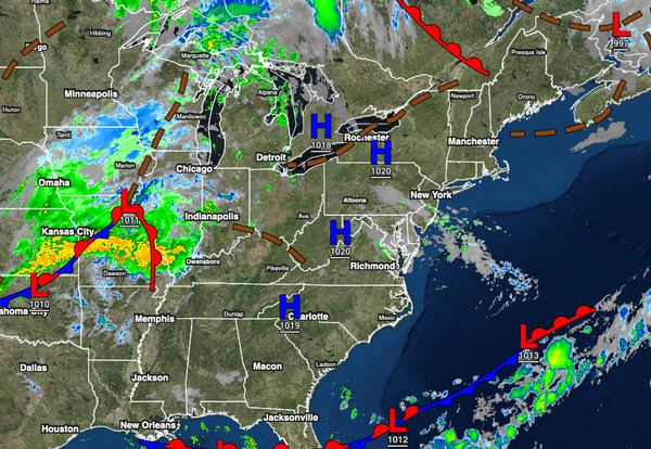
TOMORROW
A cold front will move through the region with scattered clouds and isolated showers. Winds will be from the southwest at 5 to 15 mph. Temperatures will range from the upper 50s to lower 60s over the interior and lower to mid-60s along the coast for lows and lower to mid-70s over the interior and mid to upper 70s along the coast for highs.
LABOR DAY MONDAY
The cold front will exit in the morning with a few lingering showers followed by scattered clouds. Winds will veer to the west at 5 to 15 mph. Temperatures will range from lower to mid-60s over the interior and upper 60s to lower 70s along the coast for lows and lower to mid-70s over the interior and upper 70s to lower 80s along the coast for highs.
TUESDAY
High pressure will exit the region with scattered clouds. Winds will be from the southwest at 5 to 15 mph. Temperatures will range from the lower to mid-50s over the interior and upper 50s to lower 60s along the coast for lows and lower to mid-70s over the interior, mid to upper 70s along the coast, and upper 70s to lower 80s in the Delaware River Valley for highs.
WEDNESDAY
A cold front will move through the region with scattered showers and thunderstorms. Temperatures will range from the lower to mid-60s over the interior and upper 60s to lower 70s along the coast for lows and lower to mid-70s over the interior and upper 70s to mid-80s along the coast for highs.
THURSDAY THROUGH SATURDAY
High pressure will be in control with clear skies to scattered clouds. Temperatures on Thursday will range from the lower to mid-50s over the interior, upper 50s to lower 60s in the Delaware River Valley, and lower to mid-60s along the coast for lows and upper 60s to lower 70s over the interior and mid to upper 70s along the coast for highs. Temperatures on Friday will range from the upper 40s to the lower 50s over the interior, lower to mid-50s in the
Delaware River Valley, and upper 50s to lower 60s along the coast for lows and lower to mid-70s over the interior, mid to upper 70s along the coast, and upper 70s to lower 80s in the Delaware River Valley for highs. Temperatures on Saturday will range from the upper 40s to lower 50s over the interior and mid to upper 50s along the coast for lows and lower to mid-70s over the interior, mid to upper 70s along the coast, and upper 70s to lower 80s in the Delaware River Valley for
highs.