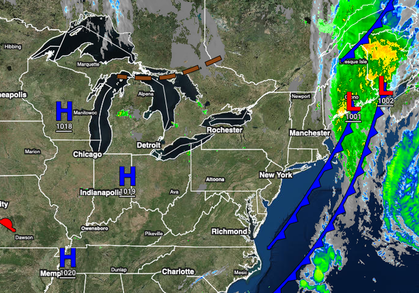
High pressure will provide excellent weather through the weekend but an unsettled weather pattern returns for next week.
TODAY
High pressure will build into the region with scattered clouds to clear skies. Winds will be from the northwest at 5 to 15 mph with gusts up to 20 mph at times in the afternoon. Temperatures will rise into the upper 60s to lower 70s over the interior and lower to mid-70s along the coast for highs.
TONIGHT THROUGH TOMORROW
High pressure will pass over the region with clear skies to scattered clouds. Winds will back to the southwest at 5 to 10 mph. Temperatures will range from the upper 40s to lower 50s over the interior and mid to upper 50s along the coast for lows and lower to mid-70s over the interior and mid to upper 70s along the coast for highs.
SUNDAY
High pressure will exit the region with increasing cloud cover expected. Winds will be from the southwest at 5 to 15 mph. Temperatures will range from the upper 50s to lower 60s over the interior and mid to upper 60s along the coast for lows and mid to upper 70s over the interior, upper 70s to lower 80s along the coast, and lower to mid-80s in the Delaware River Valley for highs.
MONDAY
A cold front will drop south with scattered to broken cloud cover and isolated to widely scattered showers. Temperatures will range from the mid-60s to lower 70s for lows and upper 70s to lower 80s over the interior, lower to mid-80s along the coast, and mid-80s to lower 90s in the Delaware River Valley for highs.
TUESDAY THROUGH THURSDAY
The cold front will stall and waver over the region with scattered to broken cloud cover and isolated to widely scattered showers. Temperatures on Tuesday through Thursday will range from the lower to mid-60s over the interior and mid-60s to lower 70s along the coast for lows and mid-70s to lower 80s over the interior and New York City metropolitan area and mid-80s to lower 90s in the Philadelphia metropolitan area and southern New Jersey for
highs.
FRIDAY
A cold front will approach from the west while the stationary boundary lingers over the region which will produce broken to overcast skies and scattered to widespread showers. Temperatures will range from the mid-60s to lower 70s for lows and lower to mid-70s over the interior, upper 70s to lower 80s in the New York City metropolitan area, and lower to mid-80s in the Philadelphia metropolitan area and southern New Jersey for highs.