A stalling cold front will keep showers a threat through tomorrow. An onshore weather pattern keeps the pattern unsettled through next week.
TODAY THROUGH TOMORROW
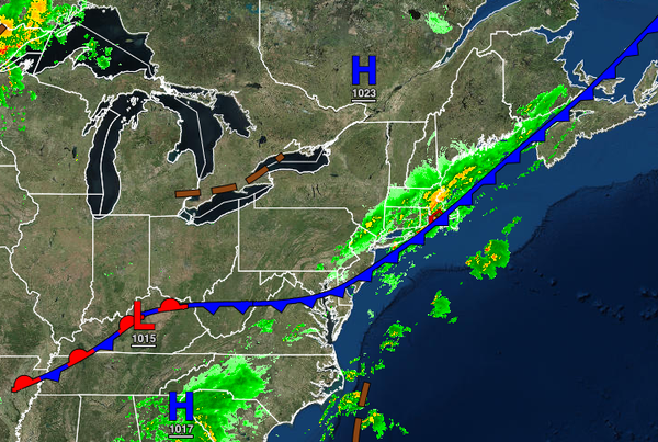
A cold front will stall over the region through tomorrow with scattered to overcast cloud cover and scattered showers. The showers will be capable of brief heavy downpours at times. Winds will back from the south to the east at 5 to 10 mph. Temperatures will rise into the lower to mid-70s along the coast and mid to upper 70s away from the coast for highs. Temperatures tomorrow will range from the lower to mid-60s over the interior and upper
60s to lower 70s along the coast for lows and mid to upper 70s over the interior, and upper 70s to lower 80s along the coast and Delaware River Valley for highs.
SATURDAY AND SUNDAY
High pressure will build south into the region through the weekend with scattered clouds with a few isolated showers. Winds will be from the north-northeast at 5 to 15 mph. Temperatures on Saturday will range from the mid to upper 60s for lows and upper 70s to lower 80s for highs. Temperatures on Sunday will range from the upper 50s to lower 60s over the interior and mid to upper 60s along the coast for lows and lower to mid-70s over the
interior, mid to upper 70s along the coast, and upper 70s to lower 80s in the Delaware River Valley for highs.
MONDAY THROUGH WEDNESDAY
A stationary front will remain over the region with scattered clouds and a threat for a few isolated showers through the forecast period. Most locations will remain dry. Temperatures will range from the mid to upper 50s over the interior and upper 50s to mid-60s along the coast for lows and lower to mid-70s over the interior and along the coast and upper 70s to lower 80s in the Delaware River Valley for highs.
THURSDAY
A strong cold front will produce widespread rainfall with embedded thunderstorms with heavy downpours at times. Temperatures will range from the mid-50s to lower 60s over the interior and mid to upper 60s along the coast for lows and mid-60s to lower 70s over the interior and lower to mid-70s along the coast for highs.