High pressure will provide excellent weather conditions through the start of the new week, but showers will return by mid-week.
TODAY THROUGH TUESDAY
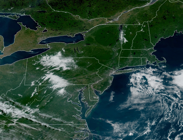
High pressure will build south from New England through the forecast period with clear skies to scattered clouds. Winds will veer from the northeast to east at 5 to 10 mph today and remain from the east at 5 to 15 mph through Tuesday. Temperatures today will rise into the lower to mid-70s over the interior, mid to upper 70s along the coast, and upper 70s to lower 80s in the Delaware River Valley. Temperatures tomorrow and Tuesday will range from
the lower to mid-50s over the interior and upper 50s to lower 60s along the coast for lows and upper 60s to lower 70s over the interior and along the coast and mid to upper 70s in the Delaware River Valley for highs.
WEDNESDAY
High pressure will exit the region with increasing cloud cover and isolated showers towards the afternoon and evening hours. Temperatures will range from the mid to upper 50s over the interior and upper 50s to lower 60s along the coast for lows and lower to mid-70s over the interior and coast and mid to upper 70s in the Delaware River Valley for highs.
THURSDAY AND FRIDAY
A cold front will slowly move through the region on Thursday and Friday with waves of showers, heavy at times. Heavy rainfall is expected with 0.50" to 1.50" of rain. Some localized urban flooding and flash flooding are a threat, especially on Friday morning with the cold front passage. Temperatures on Thursday will range from the mid to upper 60s for lows and mid to upper 70s for highs. Temperatures on Friday will range from the mid to
upper 50s over the interior, upper 50s to lower 60s in the Delaware River Valley, and mid-60s to lower 70s along the coast for lows and mid-60s to lower 70s over the interior and lower to mid-70s along the coast for highs.
SATURDAY
High pressure will build into the region with clearing skies. Temperatures will range from the upper 40s to lower 50s over the interior and lower to mid-50s along the coast for lows and upper 60s to lower 70s over the interior and lower to mid-70s along the coast for highs.
SUNDAY
A cold front will follow with scattered clouds and a few isolated showers. Temperatures will range from the mid to upper 50s for lows and mid-60s to lower 70s over the interior, lower to mid-70s along the coast, and mid to upper 70s in the Delaware River Valley for highs.