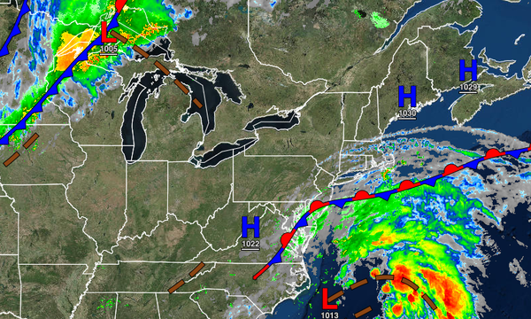
A wave of low pressure off the coast will keep the threat for showers in place today, but improving conditions are expected this weekend. More Fall-like temperatures are likely by next weekend.
TODAY
A stationary front along the coast and a wave of low pressure over the coastal waters will produce scattered to overcast cloud cover and widely scattered to scattered showers through this afternoon. The showers will be capable of brief heavy downpours. Winds will be from the east at 5 to 15 mph. Temperatures will rise into the mid to upper 70s for highs this afternoon.
TONIGHT
The stationary front will begin to drift away from the region with scattered to broken cloud cover and isolated showers. Winds will back to the northeast at 5 to 15 mph. Temperatures will fall into the mid to upper 60s for lows.
TOMORROW
A weak cold front will follow by tomorrow afternoon and evening with scattered clouds and isolated showers. Winds will be from the northeast at 5 to 10 mph. Temperatures will rise into the mid to upper 70s over the interior, upper 70s to lower 80s along the coast, and lower to mid-80s in the Delaware River Valley for highs.
SUNDAY
High pressure will build into the region with clear skies to scattered clouds. Winds will be from the north at 5 to 15 mph. Temperatures will range from the upper 50s to lower 60s over the interior and mid to upper 60s along the coast for lows and lower to mid-70s over the interior, mid to upper 70s along the coast, and upper 70s to lower 80s in the Delaware River Valley for highs.
MONDAY AND TUESDAY
High pressure will produce clear skies to scattered clouds. Temperatures will range from the lower to mid-50s over the interior and upper 50s to lower 60s along the coast for lows and lower to mid-70s along the coast and higher elevation and mid to upper 70s in urban areas.
WEDNESDAY
High pressure will exit the region with increasing clouds and isolated showers in the afternoon and evening. Temperatures will range from the upper 50s to mid-60s for lows and lower to mid-70s over the interior, mid to upper 70s along the coast, and upper 70s to lower 80s in the Delaware River Valley for highs.
THURSDAY
A strong cold front will produce periods of rain with embedded thunderstorms. Temperatures will range from the mid-50s to lower 60s over the interior, lower to mid-60s in the Delaware River Valley, and upper 60s to lower 70s along the immediate coast for lows and upper 50s to mid-60s over the interior, upper 60s to lower 70s in the Delaware River Valley and along the coast for highs.
FRIDAY
High pressure will build into the region with clear skies to scattered cloud cover. Temperatures will range from the lower to mid-40s over the interior, upper 40s to lower 50s in the suburbs, and lower to mid-50s in urban areas and along the coast for lows and lower to mid-60s over the interior and upper 60s to lower 70s along the coast for highs.