Tranquil conditions are expected for most this weekend, but a few pesky showers remain a threat. Cool and unsettled conditions are expected for much of next week.
TODAY
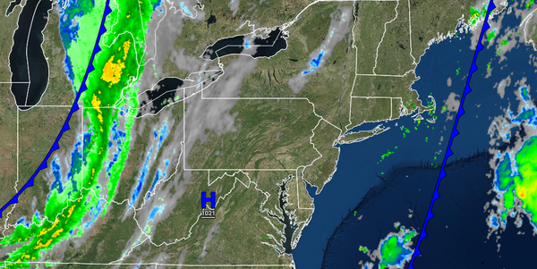
Scattered clouds with an isolated shower possible along the coast can be expected through this evening. Winds will be from the west at 5 to 15 mph. Temperatures will rise into the lower to mid-70s for highs.
TONIGHT THROUGH TOMORROW
A cold front will move through the region tonight through tomorrow morning with scattered clouds and a few isolated showers. Skies will clear in the afternoon. Winds will be from the west at 5 to 15 mph with gusts over 20 mph at times. Temperatures will range from the lower to mid-50s over the interior and upper 50s to lower 60s along the coast for lows and mid to upper 60s over the interior and upper 60s to lower 70s along the coast for
highs.
MONDAY
High pressure will produce clear skies to scattered cloud cover. Winds will be from the west at 5 to 10 mph. Temperatures will range from the lower to mid-60s for lows and lower to mid-70s over the interior and mid to upper 70s along the coast for highs.
TUESDAY THROUGH SATURDAY
As a strong upper-level low-pressure system remains to the north, a series of weak cold fronts and troughs of low pressure will rotate through the region with scattered clouds and a threat for isolated showers. Temperatures on Tuesday will range from the mid to upper 50s over the interior and lower to mid-60s along the coast for lows and mid-60s to lower 70s over the interior, lower to mid-70s along the coast, and mid-70s to lower 80s in the Delaware River
Valley for highs. Temperatures on Wednesday through Saturday will range from the mid to upper 40s over the interior and lower to mid-50s along the coast for lows and mid-50s to lower 60s over the interior and lower to mid-60s along the coast for highs.