A cool Fall air mass will be in place for the rest of the week, but a warm-up with a threat for more rainfall is likely by the end of this weekend.
TODAY
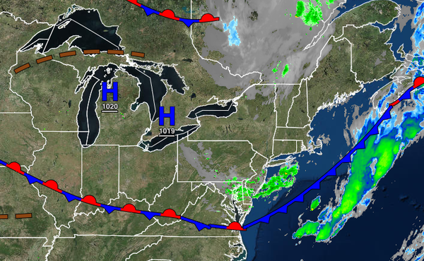
A cold front will continue to slide off the coast this morning with scattered to broken cloud cover and a few isolated showers. Scattered clouds are expected by this afternoon and evening. Winds will be from the northwest at 5 to 15 mph. Temperatures will rise into the lower to mid-60s over the interior, mid to upper 60s along the coast, and upper 60s to lower 70s in urban areas.
TONIGHT
Clear skies to scattered cloud cover are expected. Winds will be from the northwest at 5 to 10 mph. Temperatures will fall into the upper 40s to lower 50s over the interior and lower to mid-50s along the coast for lows.
TOMORROW THROUGH FRIDAY
A series of weak troughs will move through the region with scattered clouds and a few isolated showers in the afternoon. Winds will be from the northwest at 5 to 15 mph. Temperatures tomorrow will rise into the upper 50s to lower 60s over the interior and mid to upper 60s along the coast for highs. Temperatures on Friday will range from the upper 30s to mid-40s over the interior and upper 40s to lower 50s along the coast for lows and lower to
mid-60s over the interior and mid to upper 60s along the coast for highs.
SATURDAY THROUGH SUNDAY
Scattered clouds with a threat for an isolated shower in the afternoon can be expected through the weekend. Temperatures on Saturday will range from the upper 40s to mid-50s for lows and upper 60s to mid-70s for highs. Temperatures on Sunday will range from the mid-50s to lower 60s for lows and lower to mid-70s over the interior and along the immediate coast and mid-70s to lower 80s in the Delaware River Valley for highs.
MONDAY THROUGH WEDNESDAY
A cold front will settle over the region Monday through Wednesday with waves of showers and a few embedded thunderstorms as a series of low-pressure systems linger over the region. The showers will be capable of heavy downpours at times. Temperatures on Monday will range from the lower to mid-60s over the interior and mid to upper 60s along the coast for lows and lower to mid-70s over the interior, mid to upper 70s along the coast, and upper 70s to
lower 80s in the Delaware River Valley for highs. Temperatures on Tuesday will range from the lower to mid-60s over the interior and mid to upper 60s along the coast for lows and upper 60s to lower 70s over the interior and lower to mid-70s along the coast for highs. Temperatures on Wednesday will range from the lower to mid-50s over the interior and upper 50s to mid-60s along the coast for lows and mid to upper 60s over the interior and lower to mid-70s along the coast for
highs.