A tranquil weather pattern will continue into the weekend but a wet weather pattern is expected to return by next week.
TODAY THROUGH TOMORROW
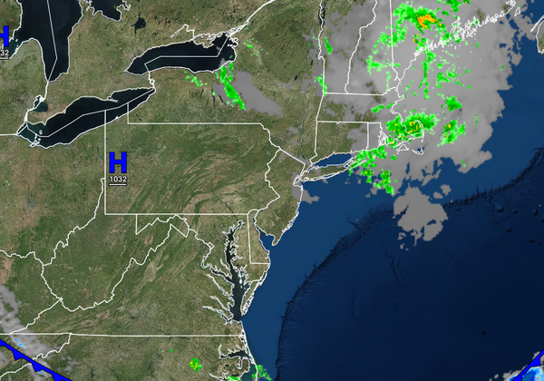
Clear skies to scattered cloud cover is expected through tomorrow with a rogue isolated shower possible in the afternoon hours. Winds will be from the northwest at 5 to 15 mph. Temperatures will rise into the upper 50s to mid-60s over the interior, mid to upper 60s along the coast, and upper 60s to lower 70s in the Delaware River Valley for highs. Temperatures tomorrow will range from the lower to mid-40s over the interior and upper 40s to lower
50s along the coast for lows and lower to mid-60s over the interior and mid to upper 60s along the coast for highs.
SATURDAY AND SUNDAY
Scattered clouds are expected with a few isolated showers possible in the afternoon. Winds will back to the southwest at 5 to 15 mph. Temperatures on Saturday will range from the upper 40s to mid-50s for lows and lower to mid-70s for highs. Temperatures on Sunday will range from the mid-50s to lower 60s for lows and lower to mid-70s over the interior, mid to upper 70s along the coast, and upper 70s to lower 80s in the Delaware River Valley for
highs.
MONDAY
A cold front will drop through the region with periods of showers, heavy at times. Temperatures on Monday will range from the upper 50s to mid-60s for lows and upper 60s to lower 70s over the interior, lower to mid-70s along the coast, and mid-70s to lower 80s in the Delaware River Valley for highs.
TUESDAY THROUGH THURSDAY
The cold front will stall over the coastal waters with waves of low pressure producing broken to overcast skies and scattered to widespread showers. The showers will be capable of heavy downpours at times. Temperatures through the period will range from the mid-50s to lower 60s over the interior and upper 50s to mid-60s along the coast for lows and mid-60s to lower 70s for highs.