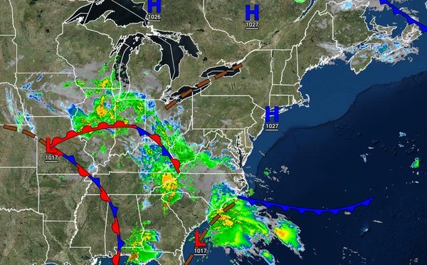
Tranquil conditions through tomorrow will give way to the threat for waves of showers this weekend as a coastal low-pressure system lingers over the coastal waters.
TODAY THROUGH TOMORROW
Scattered to broken clouds are expected today through tomorrow with the threat of an isolated shower. Low clouds and fog will be a threat in the morning hours. Winds will be light and variable through the end of the week. Temperatures will rise into the lower to mid-70s for highs today. Temperatures tomorrow will range from the mid to upper 50s over the interior and upper 50s to lower 60s along the coast for lows and lower to mid-70s for
highs.
SATURDAY AND SUNDAY
An area of low pressure will slowly move through the coastal waters Saturday afternoon through Sunday with broken to overcast skies along with scattered to widespread showers. The showers will be heavy at times, especially along the immediate coast. Winds will be from the northeast at 10 to 20 mph with gusts over 25 mph at times. Due to the easterly wind, there will be a threat for minor coastal flooding this weekend. Temperatures on
Saturday will range from the upper 50s to lower 60s for lows and mid to upper 60s over the interior and upper 60s to lower 70s along the coast for highs. Temperatures on Sunday will range from the mid to upper 50s over the interior and lower to mid-60s along the coast for lows and lower to mid-60s over the interior and mid to upper 60s along the coast for highs.
MONDAY THROUGH WEDNESDAY
A stationary front and a few waves of low-pressure will produce scattered to broken clouds along with isolated showers through the forecast period. Temperatures will range from the upper 50s to lower 60s over the interior and mid to upper 60s along the coast for lows and upper 60s to lower 70s over the interior and mid to upper 70s along the coast for highs.
THURSDAY
High pressure will produce clear skies to scattered clouds. Temperatures will range from the upper 50s to lower 60s for lows and mid to upper 60s over the interior and lower to mid-70s along the coast for highs.