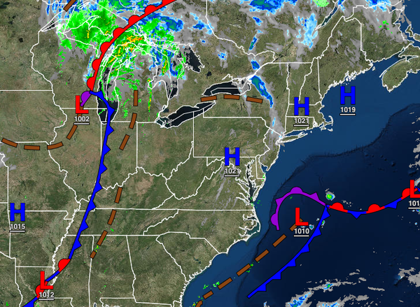
A steady warm-up is on the way for the rest of the week but a powerful cold front will bring a return to more typical Fall weather by this weekend.
TODAY
Low clouds, fog, and isolated showers will give way to scattered cloud cover by this afternoon. Winds will be from the northeast at 5 mph. Temperatures will rise into the upper 60s to lower 70s for highs throughout the region.
TONIGHT
Low clouds, fog, and isolated showers will return tonight through early tomorrow
morning. Winds will be from the northeast at 5 to 10 mph. Temperatures will fall into the mid to upper 50s over the interior and lower to mid-60s along the coast for lows.
TOMORROW
High pressure will build into the region from the Tennessee River Valley with scattered clouds and wind backing to the west at 5 to 15 mph. Temperatures will rise into the lower to mid-70s for highs.
THURSDAY AND FRIDAY
High pressure will produce clear skies to scattered cloud cover. Winds from the southwest at 5 to 15 mph. Temperatures on Thursday will range from the mid to upper 50s over the interior and upper 50s to lower 60s along the coast for lows and upper 60s to mid-70s over the interior, mid to upper 70s
along the coast, and upper 70s to lower 80s in the Delaware River Valley for highs. Temperatures on Friday will range from the lower to mid-60s for lows and mid to upper 70s along the coast and upper 70s to lower 80s away from the coast for highs.
SATURDAY AND SUNDAY
A cold front will move through the region on Saturday with periods of showers and a few thunderstorms through the day over the northern interior and in the late afternoon and evening along the coast. The rainfall will be heavy at times. Showers will linger into early Sunday morning followed by
clearing skies and breezy conditions in the afternoon. Temperatures on Saturday will range from the mid to upper 60s for lows and lower to mid-70s over the interior, mid to upper 70s along the coast, and upper 70s to mid-80s in the Delaware River Valley for highs. Temperatures on Sunday will range from the mid to upper 40s over the interior, lower to mid-50s in the Delaware River Valley, and mid to upper 50s along the coast for lows and upper 50s over the interior and lower to
mid-60s along the coast for highs.
MONDAY AND TUESDAY
High pressure will be in complete control with clear skies to scattered clouds. Temperatures will range from the upper 30s to mid-40s over the interior and mid-40s to lower 50s along the coast for lows and upper 50s to lower 60s over the interior, lower to mid-60s along the coast, and mid to upper 60s
in the Delaware River Valley for highs.