The warm weather pattern through tomorrow morning will come to a stormy end tomorrow afternoon and evening with periods of rain and low-top thunderstorms. A cool, dry weather pattern returns through next week.
TODAY
Scattered clouds are expected through this evening. Winds will be from the southwest at 5 to 15 mph. Temperatures will rise into the lower to mid-70s along the coast, mid to upper 70s over the interior, and upper 70s to mid-80s in the Delaware River Valley for highs.
TONIGHT
As a cold front approaches, clouds will slowly increase but dry conditions are expected through tomorrow morning. Winds will be from the south at 5 to 15 mph. Temperatures will fall into the lower to mid-60s over the interior and mid to upper 60s along the coast for lows.
TOMORROW
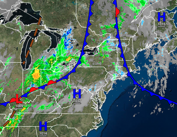
A strong cold front will move through with periods of rain and embedded thunderstorms in the afternoon and evening hours. The thunderstorms will be capable of intense downpours, occasional to frequent lightning, and wind gusts over 40 mph. The cold front is expected to impact most of the region from 2 PM to 10 PM. Winds will veer from the south to the west at 10 to 20 mph with higher gusts. Temperatures will rise into the upper 60s to lower
70s over the interior, lower to mid-70s along the coast, and mid-70s to lower 80s in the Delaware River Valley for highs.
SUNDAY
The cold front will depart in the morning hours with scattered clouds and an isolated shower a threat through the afternoon. Winds will be from the west at 10 to 20 mph with gusts up to 30 mph at times. Temperatures will range from the lower to mid-40s over the interior, upper 40s to lower 50s in the suburbs, and lower to mid-50s in urban areas and along the coast for lows and mid to upper 50s over the interior and lower to mid-60s along the coast for
highs.
MONDAY THROUGH THURSDAY
High pressure will be in control through the forecast period with clear skies to scattered cloud cover. Temperatures on Monday will range from the lower to mid-40s over the interior and upper 40s to lower 50s along the coast for lows and mid to upper 50s over the interior and lower to mid-60s along the coast for highs. Temperatures on Tuesday and Wednesday will range from the upper 30s to lower 40s over the interior and mid to upper 40s along the coast
for lows and lower to mid-60s over the interior, mid to upper 60s along the coast, and upper 60s to lower 70s in the Delaware River Valley for highs. Temperatures on Thursday will range from the lower to mid-50s over the interior and upper 50s to lower 60s along the coast for lows and mid-50s to lower 60s over the interior and mid to upper 60s along the coast for highs.
FRIDAY
A weak cold front will move through with a few isolated showers and scattered clouds. Temperatures will range from the lower to mid-50s over the interior, mid to upper 50s in the suburbs, and upper 50s to lower 60s along the immediate coast for lows and lower to mid-60s over the interior and upper 60s to lower 70s along the coast for highs.